Feuerwehr Blankenburg
Feuerwehr Blankenburg is a fire station in Blankenburg, Harz, Saxony-Anhalt which is located on Neue Halberstädter Straße. Feuerwehr Blankenburg is situated nearby to the playground Spielplatz im Stadtpark, as well as near the social service facility Haus am Thiepark.| Tap on a place to explore it |
Places of Interest Nearby
Highlights include Haus am Thiepark and Herbergsmuseum.
Haus am Thiepark
Social service facility

Photo: Goldmull, CC BY-SA 4.0.
Haus am Thiepark is a social service facility.
Herbergsmuseum
Museum
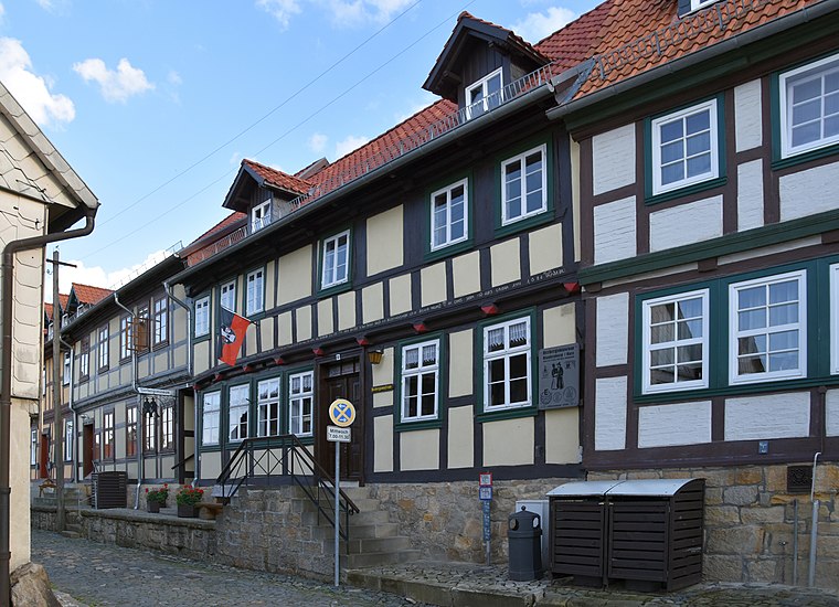
Photo: Migebert, CC BY-SA 3.0.
Herbergsmuseum is situated 550 metres southeast of Feuerwehr Blankenburg.
St. Bartholomäus
Church

Photo: JurecGermany, CC BY-SA 4.0.
St. Bartholomäus is a church, which is situated 510 metres south of Feuerwehr Blankenburg.
Places in the Area
Nearby places include Wendefurth and Neuwerk.
Wendefurth
Hamlet

Photo: B.Thomas95, CC BY-SA 4.0.
Wendefurth is a hamlet in central Germany that, since 1 July 2009, has been part of the borough of Thale district of Harz. Previously it belonged to the municipality of Altenbrak which was incorporated into Thale. Wendefurth is situated 6 km south of Feuerwehr Blankenburg.
Neuwerk
Village

Photo: Wikimedia, CC BY-SA 3.0.
Neuwerk is a village, which is situated 7 km southwest of Feuerwehr Blankenburg.
Langenstein
Village

Photo: B.Thomas95, CC BY-SA 4.0.
Langenstein is a village and a former municipality in the district of Harz, in Saxony-Anhalt, Germany. Since 1 January 2010, it is part of the town Halberstadt. The World War II concentration camp Langenstein-Zwieberge was located here. Langenstein is situated 7 km north of Feuerwehr Blankenburg.
Feuerwehr Blankenburg
- Type: Fire station
- Address: Neue Halberstädter Straße 15, Blankenburg (Harz), 38889
- Location: Blankenburg, Harz, Saxony-Anhalt, Germany, Central Europe, Europe
- View on OpenStreetMap
Latitude
51.79216° or 51° 47′ 32″ northLongitude
10.95226° or 10° 57′ 8″ eastOpen location code
9F3GQXR2+VWOpenStreetMap ID
node 523865799OpenStreetMap feature
amenity=fire_station
This page is based on OpenStreetMap, Wikidata, and Wikimedia Commons.
We’d love your help improving our open data sources. Thank you for contributing.
Satellite Map
Discover Feuerwehr Blankenburg from above in high-definition satellite imagery.
Notable Places Nearby
Highlights include Spielplatz im Stadtpark and Stadtpark.
Nearby Places
Explore places such as Haus E and Der Weinfuchs.
Saxony-Anhalt: Must-Visit Destinations
Delve into Magdeburg, Halle, Wittenberg, and Quedlinburg.
Curious Fire Stations to Discover
Uncover intriguing fire stations from every corner of the globe.
About Mapcarta. Data © OpenStreetMap contributors and available under the Open Database License". Text is available under the CC BY-SA 4.0 license, except for photos, directions, and the map. Photo: Mr. TI., CC BY 3.0.