Strandbad Garatshausen
Strandbad Garatshausen is in Tutzing, Starnberg, Bavaria. Strandbad Garatshausen is situated nearby to the swimming area Freibad Garatshausen, as well as near the pitch Nordbad.| Tap on a place to explore it |
Places of Interest Nearby
Highlights include Ortsmuseum Tutzing and Bücherei Tutzing.
Ortsmuseum Tutzing
Museum

Photo: Stefan Karl, CC BY-SA 4.0.
Ortsmuseum Tutzing is situated 1½ km southwest of Strandbad Garatshausen.
Bücherei Tutzing
Library

Photo: Renardo la vulpo, CC BY-SA 3.0.
Bücherei Tutzing is a library, which is situated 1½ km southwest of Strandbad Garatshausen.
Tutzing station
Railway station

Photo: Flummi-2011, CC BY-SA 3.0.
Tutzing station is currently the only station of the Bavarian town of Tutzing and a station on the Munich S-Bahn. It is classified by Deutsche Bahn as a category 4 station and has three platform tracks. Tutzing station is situated 2 km southwest of Strandbad Garatshausen.
Places in the Area
Nearby places include Feldafing and Oberzeismering.
Feldafing
Village
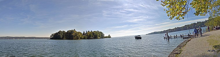
Photo: Guido Radig, CC BY 3.0.
Feldafing is a municipality in Starnberg district, Bavaria, Germany, and is located on the west shore of Lake Starnberg, southwest of Munich. Feldafing is situated 3 km north of Strandbad Garatshausen.
Oberzeismering
Hamlet

Photo: Joachim Blum, CC BY-SA 3.0.
Oberzeismering is a hamlet, which is situated 3½ km southwest of Strandbad Garatshausen.
Ilkahöhe
Locality

Photo: Gras-Ober, CC BY-SA 3.0.
Ilkahöhe is a small mountain of Bavaria, Germany. It is located in the community of Tutzing above a small village called Oberzeismering. It is a popular place to visit on outings from Munich. Ilkahöhe is situated 3½ km southwest of Strandbad Garatshausen.
Strandbad Garatshausen
- Type: Scuba diving
- Category: sports location
- Location: Tutzing, Starnberg, Upper Bavaria, Bavaria, Germany, Central Europe, Europe
- View on OpenStreetMap
Latitude
47.91921° or 47° 55′ 9″ northLongitude
11.29104° or 11° 17′ 28″ eastOpen location code
8FVHW79R+MCOpenStreetMap ID
node 5247836452OpenStreetMap feature
sport=scuba_diving
This page is based on OpenStreetMap, Wikidata, and Wikimedia Commons.
We’d love your help improving our open data sources. Thank you for contributing.
Satellite Map
Discover Strandbad Garatshausen from above in high-definition satellite imagery.
Notable Places Nearby
Highlights include Freibad Garatshausen and Nordbad.
Nearby Places
Explore places such as Freibadkiosk and Das Alpenvorland.
Upper Bavaria: Must-Visit Destinations
Delve into Munich, Ingolstadt, Dachau, and Rosenheim.
Curious Places to Discover
Uncover intriguing places from every corner of the globe.
About Mapcarta. Data © OpenStreetMap contributors and available under the Open Database License". Text is available under the CC BY-SA 4.0 license, except for photos, directions, and the map. Photo: Aconcagua, CC BY-SA 3.0.