Zum Schäiner
Zum Schäiner is a fast food restaurant in Bavaria, Germany. Zum Schäiner is situated nearby to the church Jehovas Zeugen Königreichsaal, as well as near the playground Spielplatz Leutenbachstraße.| Tap on a place to explore it |
Places of Interest Nearby
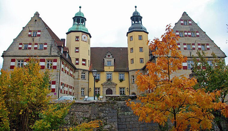
Highlights include Hersbruck (links Pegnitz) and Schloss Hersbruck.
Hersbruck (links Pegnitz)
Railway station

Photo: H.G.Graser, CC BY-SA 3.0.
Hersbruck (links Pegnitz) is a railway station, which is situated 380 metres east of Zum Schäiner.
Rathaus in Hersbruck
Town hall

Photo: Tilman2007, CC BY-SA 4.0.
Rathaus in Hersbruck is a town hall, which is situated 1 km north of Zum Schäiner.
Places in the Area
Nearby places include Weiher and Hersbruck.

Hersbruck
Town

Photo: Wikimedia, CC BY-SA 3.0.
Hersbruck is a small town in Middle Franconia, Bavaria, Germany, belonging to the district Nürnberger Land. It is best known for the late-gothic artwork of the Hersbruck altar, the "Hirtenmuseum" and the landscape of Hersbruck Switzerland.

Zum Schäiner
- Type: Fast food restaurant
- Categories: food and restaurant
- Location: Bavaria, Germany, Central Europe, Europe
- View on OpenStreetMap
Latitude
49.49924° or 49° 29′ 57″ northLongitude
11.42979° or 11° 25′ 47″ eastOpen location code
8FXHFCXH+MWOpenStreetMap ID
node 5249393492OpenStreetMap feature
amenity=fast_food
This page is based on OpenStreetMap, Wikidata, and Wikimedia Commons.
We’d love your help improving our open data sources. Thank you for contributing.
Satellite Map
Discover Zum Schäiner from above in high-definition satellite imagery.
Notable Places Nearby
Highlights include Jehovas Zeugen Königreichsaal and Spielplatz Leutenbachstraße.
Nearby Places
Explore places such as Lanzet and Fleischmann GmbH Textilmietservice.
Bavaria: Must-Visit Destinations
Delve into Munich, Nuremberg, Erlangen, and Augsburg.
Curious Fast Food Restaurants to Discover
Uncover intriguing fast food restaurants from every corner of the globe.
About Mapcarta. Data © OpenStreetMap contributors and available under the Open Database License". Text is available under the CC BY-SA 4.0 license, except for photos, directions, and the map. Photo: gravitat-OFF, CC BY 2.0.