291 - Subirats 5
291 - Subirats 5 is a bike rental in Nou Barris, Barcelona, Catalonia. 291 - Subirats 5 is situated nearby to the school Institut Manuel Carrasco i Formiguera, as well as near Plaça de la Torre Llobeta.| Tap on a place to explore it |
Places of Interest Nearby
Highlights include Jardins de Can Xiringoi and Virrei Amat.
Jardins de Can Xiringoi
Park

Photo: Pere prlpz, CC BY-SA 3.0.
Jardins de Can Xiringoi is a park, which is situated 150 metres northeast of 291 - Subirats 5.
Virrei Amat
Railway stop

Photo: Javierito92, CC BY 3.0.
Virrei Amat is a station on line 5 of the Barcelona Metro. The station is located underneath Plaça Virrei Amat, between Carrer Felip II and Carrer Varsòvia. Virrei Amat is situated 290 metres north of 291 - Subirats 5.
Hospital de Sant Pau
Hospital

Photo: Matinibz, CC BY-SA 3.0.
The former Hospital de la Santa Creu i Sant Pau in the neighborhood of El Guinardó, Barcelona, Catalonia, Spain, is a complex built between 1901 and 1930. Hospital de Sant Pau is situated 1¼ km south of 291 - Subirats 5.
Places in the Area
Nearby places include Polígon de la Torre Llobeta and Vilapicina i la Torre Llobeta.

Vilapicina i la Torre Llobeta
Neighborhood

Photo: Javierito92, CC BY 3.0.
Vilapicina i Torre Llobeta is a neighborhood in the Nou Barris district of Barcelona, Catalonia.
Porta
Neighborhood
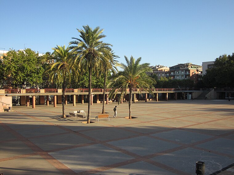
Photo: Electro07, CC BY-SA 3.0.
Porta is a neighborhood in the Nou Barris district of Barcelona, Catalonia.
291 - Subirats 5
- Type: Bike rental
- Address: Barcelona
- Category: transportation
- Location: Nou Barris, Barcelona, Barcelona, Catalonia, Eastern Spain, Spain, Iberia, Europe
- View on OpenStreetMap
Latitude
41.42699° or 41° 25′ 37″ northLongitude
2.17459° or 2° 10′ 29″ eastElevation
54 metres (177 feet)Brand
BicingOperator
Clear ChannelNetwork
BicingOpen location code
8FH4C5GF+QROpenStreetMap ID
node 5262548975OpenStreetMap feature
amenity=bicycle_rental
This page is based on OpenStreetMap, Wikidata, and Wikimedia Commons.
We’d love your help improving our open data sources. Thank you for contributing.
Satellite Map
Discover 291 - Subirats 5 from above in high-definition satellite imagery.
Notable Places Nearby
Highlights include Institut Manuel Carrasco i Formiguera and Plaça de la Torre Llobeta.
Nearby Places
Explore places such as Refugi climàtic Centre Cívic Torre Llobeta and Romeo Perruqueria.
Barcelona: Must-Visit Destinations
Delve into Ciutat Vella, Eixample, Gràcia, and Sants-Montjuïc.
Curious Bike Rentals to Discover
Uncover intriguing bike rentals from every corner of the globe.
About Mapcarta. Data © OpenStreetMap contributors and available under the Open Database License". Text is available under the CC BY-SA 4.0 license, except for photos, directions, and the map. Photo: phyrephox, CC BY-SA 2.0.