Prim Pardubice
Prim Pardubice is a kiosk in Pardubice, Pardubice Region. Prim Pardubice is situated nearby to the kindergarten Mateřská škola Zvoneček, as well as near the sports venue areál HBC Pardubice.| Tap on a place to explore it |
- Opening hours: 6:00 AM—8:00 PM
- Type: Kiosk
- Wheelchair access: yes
Places of Interest Nearby
Highlights include Lesopark Jiřího Potůčka and Základní škola Polabiny II.
Lesopark Jiřího Potůčka
Park

Photo: Petr1888, CC BY-SA 4.0.
Lesopark Jiřího Potůčka is situated 340 metres northwest of Prim Pardubice.
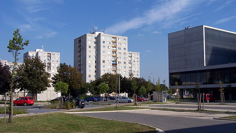
Základní škola Polabiny II
School

Photo: Petr1888, CC BY-SA 4.0.
Základní škola Polabiny II is a school, which is situated 260 metres northeast of Prim Pardubice.
Pardubice-Rosice nad Labem (train station)
Railway station
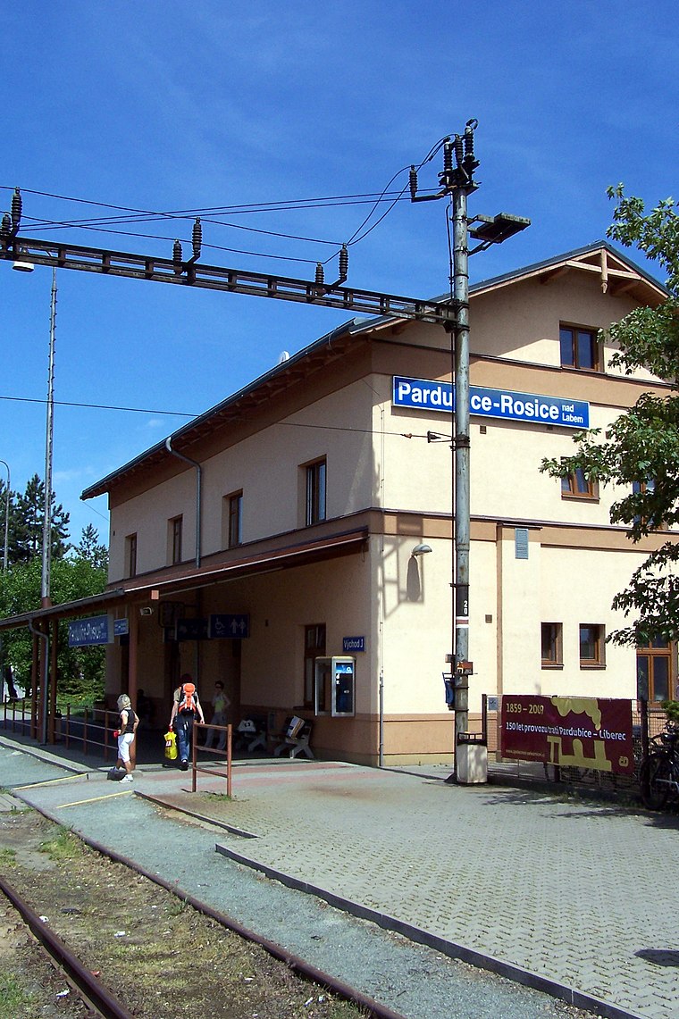
Photo: Nadkachna, CC BY-SA 3.0.
Pardubice-Rosice nad Labem (train station) is a railway station, which is situated 730 metres southwest of Prim Pardubice.
Places in the Area
Nearby places include Polabiny and Cihelna.


Prim Pardubice
- Categories: gas station and shop
- Location: Pardubice, Pardubice District, Pardubice Region, East Bohemia, Czech Republic, Central Europe, Europe
- View on OpenStreetMap
Latitude
50.04849° or 50° 2′ 55″ northLongitude
15.752° or 15° 45′ 7″ eastBrand
PETRAOperator
PETRA s.r.o.Open location code
9F2Q2QX2+9ROpenStreetMap ID
node 5265777006OpenStreetMap feature
amenity=fuelOpenStreetMap feature
shop=kioskOpenStreetMap attribute
wheelchair=yes
This page is based on OpenStreetMap, Wikidata, and Wikimedia Commons.
We’d love your help improving our open data sources. Thank you for contributing.
Satellite Map
Discover Prim Pardubice from above in high-definition satellite imagery.
Notable Places Nearby
Highlights include Mateřská škola Zvoneček and areál HBC Pardubice.
Nearby Places
Explore places such as BISTRO YUAN DONG and Datart.
East Bohemia: Must-Visit Destinations
Delve into Hradec Králové, Giant Mountains National Park, Litomyšl, and Jičín.
Curious Kiosks to Discover
Uncover intriguing kiosks from every corner of the globe.
About Mapcarta. Data © OpenStreetMap contributors and available under the Open Database License". Text is available under the CC BY-SA 4.0 license, except for photos, directions, and the map. Photo: Wikimedia, CC BY-SA 3.0.