Freiwillige Feuerwehr St. Georgen
Freiwillige Feuerwehr St. Georgen is a fire station in Eisenstadt, Burgenland which is located on Brunnengasse. Freiwillige Feuerwehr St. Georgen is situated nearby to the pitch UFC St.Georgen, as well as near the village St. Georgen am Leithagebirge.| Tap on a place to explore it |
Places of Interest Nearby
Highlights include Friedhofskapelle and Eisenstadt Cathedral.
Friedhofskapelle
Church

Photo: Robert Heilinger, CC BY-SA 3.0.
Friedhofskapelle is a church, which is situated 1 km north of Freiwillige Feuerwehr St. Georgen.
Eisenstadt Cathedral
Church

Photo: Bwag, CC BY-SA 4.0.
Eisenstadt Cathedral, otherwise St. Martin's Cathedral, previously St. Martin's Church, is a Roman Catholic cathedral in Eisenstadt, Burgenland, Austria, dedicated to Saint Martin. Eisenstadt Cathedral is situated 2½ km west of Freiwillige Feuerwehr St. Georgen.
Rochuskapelle
Church

Photo: Robert Heilinger, CC BY-SA 3.0.
Rochuskapelle is a church, which is situated 1¼ km north of Freiwillige Feuerwehr St. Georgen.
Places in the Area
Nearby places include St. Georgen am Leithagebirge and Oberberg-Eisenstadt.
St. Georgen am Leithagebirge
Village

Photo: Maclemo, CC BY-SA 3.0 at.
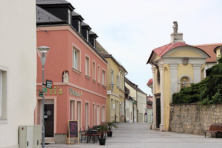
St. Georgen am Leithagebirge is a town in Burgenland, Austria. It is one of the three districts of Eisenstadt.
Oberberg-Eisenstadt
Neighborhood
 Oberberg-Eisenstadt is a neighborhood, which is situated 3½ km west of Freiwillige Feuerwehr St. Georgen.
Unterberg-Eisenstadt
Neighborhood

Photo: Wikimedia, CC BY-SA 4.0.
Unterberg-Eisenstadt is a neighborhood, which is situated 3½ km west of Freiwillige Feuerwehr St. Georgen.
Freiwillige Feuerwehr St. Georgen
- Type: Fire station
- Address: Brunnengasse 55, 7000
- Location: Eisenstadt, Burgenland, Austria, Central Europe, Europe
- View on OpenStreetMap
Latitude
47.85034° or 47° 51′ 1″ northLongitude
16.55671° or 16° 33′ 24″ eastOpen location code
8FVRVH24+4MOpenStreetMap ID
node 5290294922OpenStreetMap feature
amenity=fire_station
This page is based on OpenStreetMap, Wikidata, and Wikimedia Commons.
We’d love your help improving our open data sources. Thank you for contributing.
Satellite Map
Discover Freiwillige Feuerwehr St. Georgen from above in high-definition satellite imagery.
Places with the Same Name
Discover other places named “Freiwillige Feuerwehr St. Georgen”.
Notable Places Nearby
Highlights include UFC St.Georgen and UFC St.Georgen.
Nearby Places
Explore places such as Hl. Barbara and Cafe-Bar Eule.
Burgenland: Must-Visit Destinations
Delve into Neusiedl am See, Rust, and Güssing.
Curious Fire Stations to Discover
Uncover intriguing fire stations from every corner of the globe.
About Mapcarta. Data © OpenStreetMap contributors and available under the Open Database License". Text is available under the CC BY-SA 4.0 license, except for photos, directions, and the map. Photo: Wikimedia, CC BY-SA 3.0.