Punta di Tozzarella
Punta di Tozzarella is a peak in Zicavo, Arrondissement of Ajaccio, Corsica and has an elevation of 1,748 metres. Punta di Tozzarella is situated nearby to the locality Bergeries de Chiralbella, as well as near Cuparchiata.| Tap on a place to explore it |
Places of Interest
Highlights include Monte Incudine and Chapelle San Pietru.
Monte Incudine
Peak
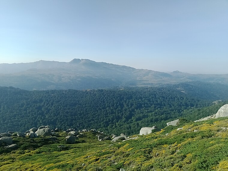
Photo: Rémih, CC BY-SA 4.0.
Monte Incudine is a mountain in the department of Corse-du-Sud on the island of Corsica, France. It is the highest peak in the Monte Incudine massif.

Refuge de Matalza
Mountain hut

Photo: TeletubAstyanax, CC BY-SA 4.0.
Refuge de Matalza is a mountain hut.
Places in the Area
Nearby places include Aiguilles de Bavella.
Aiguilles de Bavella
Locality

Photo: Wikimedia, CC BY-SA 3.0.
The Aiguilles de Bavella are rocky spikes of red granite that dominate the hill of the same name on the island of Corsica in France. At 1218 m, the hill connects the Alta Rocca to the east coast of Corsica.
Punta di Tozzarella
- Type: Peak with an elevation of 1,748 metres
- Category: landform
- Location: Zicavo, Arrondissement of Ajaccio, South Corsica, Corsica, France, Europe
- View on OpenStreetMap
Latitude
41.854° or 41° 51′ 14″ northLongitude
9.1761° or 9° 10′ 34″ eastElevation
1,748 metres (5,735 feet)Open location code
8FHFV53G+HCOpenStreetMap ID
node 5315171895OpenStreetMap feature
natural=peak
This page is based on OpenStreetMap, Wikidata, and Wikimedia Commons.
We’d love your help improving our open data sources. Thank you for contributing.
Satellite Map
Discover Punta di Tozzarella from above in high-definition satellite imagery.
Localities in the Area
Explore places such as Bergeries de Chiralbella and Cuparchiata.
Notable Places Nearby
Highlights include Bocca di Chiralba and Free bivouac.
Corsica: Must-Visit Destinations
Delve into Ajaccio, Bastia, Bonifacio, and Calvi.
Curious Peaks to Discover
Uncover intriguing peaks from every corner of the globe.
About Mapcarta. Data © OpenStreetMap contributors and available under the Open Database License". Text is available under the CC BY-SA 4.0 license, except for photos, directions, and the map. Photo: Pierre Bona, CC BY-SA 3.0.