Refuge de Montfort
Refuge de Montfort is a chalet in Echallens, Gros-de-Vaud District, Vaud. Refuge de Montfort is situated nearby to the pitch Vélo Club Echallens, as well as near the sports venue Piscine d’Echallens.| Tap on a place to explore it |
Places of Interest Nearby
Highlights include Echallens railway station and Museum of the House of wheat and bread.
Echallens railway station
Railway station

Photo: Abaddon1337, CC BY-SA 3.0.
Echallens railway station is a railway station in the municipality of Échallens, in the Swiss canton of Vaud. It is located on the 1,000 mm Lausanne–Bercher line of the Chemin de fer Lausanne-Échallens-Bercher. Echallens railway station is situated 1¼ km west of Refuge de Montfort.
Museum of the House of wheat and bread
Museum

Photo: Gameb, CC BY-SA 3.0.
Museum of the House of wheat and bread is situated 1¼ km west of Refuge de Montfort.
Sur Roche railway station
Railway stop

Photo: Abaddon1337, CC BY-SA 3.0.
Sur Roche railway station is a railway station in the municipality of Échallens, in the Swiss canton of Vaud. It is located on the 1,000 mm Lausanne–Bercher line of the Chemin de fer Lausanne-Échallens-Bercher. Sur Roche railway station is situated 770 metres northwest of Refuge de Montfort.
Places in the Area
Nearby places include Échallens and Poliez-le-Grand.
Échallens
Village
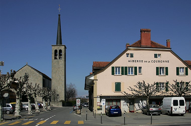
Photo: Wikimedia, CC BY-SA 3.0.
Échallens is a municipality in the district of Gros-de-Vaud in the canton of Vaud in Switzerland.
Poliez-le-Grand
Village

Photo: Inisheer, CC BY-SA 3.0.
Poliez-le-Grand is a former municipality in the district of Gros-de-Vaud in the canton of Vaud in Switzerland. The municipalities of Dommartin, Naz, Poliez-le-Grand and Sugnens merged on 1 July 2011 into the new municipality of Montilliez.
Malapalud
Village
Malapalud is a former municipality in the district of Échallens in the canton of Vaud in Switzerland. On 1 January 2009, it was merged with the municipality of Assens.
Refuge de Montfort
- Type: Chalet
- Categories: tourism, accommodation, and building
- Location: Echallens, Gros-de-Vaud District, Vaud, Western Switzerland, Switzerland, Central Europe, Europe
- View on OpenStreetMap
Latitude
46.63759° or 46° 38′ 15″ northLongitude
6.64807° or 6° 38′ 53″ eastOpen location code
8FR8JJQX+26OpenStreetMap ID
node 5348096042OpenStreetMap feature
tourism=cabin
This page is based on OpenStreetMap, Wikidata, and Wikimedia Commons.
We’d love your help improving our open data sources. Thank you for contributing.
Satellite Map
Discover Refuge de Montfort from above in high-definition satellite imagery.
Notable Places Nearby
Highlights include Vélo Club Echallens and Piscine d’Echallens.
Nearby Places
Explore places such as Refuge de Montfort and Echallens, collège/parc.
Vaud: Must-Visit Destinations
Delve into Lausanne, Montreux, Nyon, and Vevey.
Curious Chalets to Discover
Uncover intriguing chalets from every corner of the globe.
About Mapcarta. Data © OpenStreetMap contributors and available under the Open Database License". Text is available under the CC BY-SA 4.0 license, except for photos, directions, and the map. Photo: Annickjaquillard, CC BY-SA 4.0.