Calvaire de la Valère
Calvaire de la Valère is a wayside cross in L’Herbergement, Arrondissement of La Roche-sur-Yon, Pays de la Loire. Calvaire de la Valère is situated nearby to the village Les Brouzils, as well as near the aerodrome Montaigu St Georges Airport.| Tap on a place to explore it |
Places of Interest Nearby
Highlights include Gare de L’Herbergement - Les Brouzils and Église Sainte-Madeleine de L’Herbergement.
Gare de L’Herbergement - Les Brouzils
Railway station

Photo: Cramos, CC BY-SA 3.0.
Gare de L’Herbergement - Les Brouzils is a railway station, which is situated 2 km west of Calvaire de la Valère.
Église Sainte-Madeleine de L’Herbergement
Church

Photo: Skimel, CC BY-SA 4.0.
Église Sainte-Madeleine de L’Herbergement is a church, which is situated 2½ km west of Calvaire de la Valère.
Montaigu St Georges Airport
Aerodrome
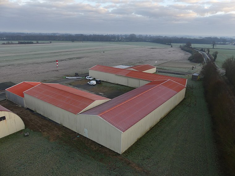
Photo: Drallam44, CC BY-SA 4.0.
Montaigu St Georges Airport is an aerodrome, which is situated 3½ km north of Calvaire de la Valère.
Places in the Area
Nearby places include Les Brouzils and Saint-Sulpice-le-Verdon.
Les Brouzils
Village

Photo: Llann Wé², CC BY-SA 3.0.
Les Brouzils is a commune in the Vendée department in the Pays de la Loire region in western France. Its coat of arms has a wolf, which symbolizes bravery.
Saint-Sulpice-le-Verdon
Village

Photo: Thomasr m, CC BY-SA 3.0.
Saint-Sulpice-le-Verdon is a former commune in the Vendée department in the Pays de la Loire region in western France. On 1 January 2016, it was merged into the new commune of Montréverd. Saint-Sulpice-le-Verdon is situated 6 km west of Calvaire de la Valère.
La Copechagnière
Village

Photo: Éduarel, CC BY-SA 3.0.
La Copechagnière is a commune of the Vendée department in the Pays de la Loire region in western France. La Copechagnière is situated 6 km south of Calvaire de la Valère.
Calvaire de la Valère
- Type: Wayside cross
- Denomination: Catholic
- Category: historic site
- Location: L’Herbergement, Arrondissement of La Roche-sur-Yon, Vendée, Pays de la Loire, France, Europe
- View on OpenStreetMap
Latitude
46.90151° or 46° 54′ 5″ northLongitude
-1.34463° or 1° 20′ 41″ westInception
1903Open location code
8CRWWM24+J4OpenStreetMap ID
node 5357158545OpenStreetMap feature
historic=wayside_crossOpenStreetMap attribute
denomination=catholic
This page is based on OpenStreetMap, Wikidata, and Wikimedia Commons.
We’d love your help improving our open data sources. Thank you for contributing.
Satellite Map
Discover Calvaire de la Valère from above in high-definition satellite imagery.
Notable Places Nearby
Highlights include Château de la Thebline and La Coussais.
Nearby Places
Explore places such as Calvaire du Chiron and Le Chiron.
Pays de la Loire: Must-Visit Destinations
Delve into Montsoreau, Nantes, Angers, and Le Mans.
Curious Wayside Crosses to Discover
Uncover intriguing wayside crosses from every corner of the globe.
About Mapcarta. Data © OpenStreetMap contributors and available under the Open Database License". Text is available under the CC BY-SA 4.0 license, except for photos, directions, and the map. Photo: Trxxrt, FAL.