7. Station: Jesus wird vom Kreuz genommen
7. Station: Jesus wird vom Kreuz genommen is a church in Kempen, Viersen, North Rhine-Westphalia. 7. Station: Jesus wird vom Kreuz genommen is situated nearby to the sports venue Sporthalle, as well as near the church 6. Station: Jesus stirbt am Kreuz.| Tap on a place to explore it |
- Type: Church
- Denomination: Roman Catholic
- Also known as: “Fußfallstation (Heiligenhäuschen)”
Places of Interest Nearby
Highlights include Kempen station and Burg Kempen.
Kempen station
Railway station
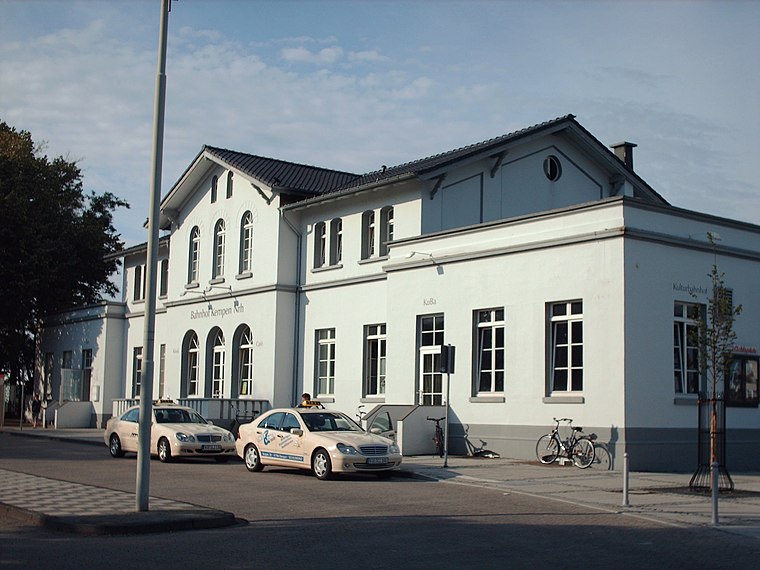
Photo: Stefan Flöper, CC BY-SA 4.0.
Kempen station is a railway station, which is situated 3 km southwest of 7. Station: Jesus wird vom Kreuz genommen.
Burg Kempen
Castle

Photo: Alexostrov, CC BY-SA 3.0.
Burg Kempen is a castle, which is situated 3 km southwest of 7. Station: Jesus wird vom Kreuz genommen.
Kuhtor (Kempen)
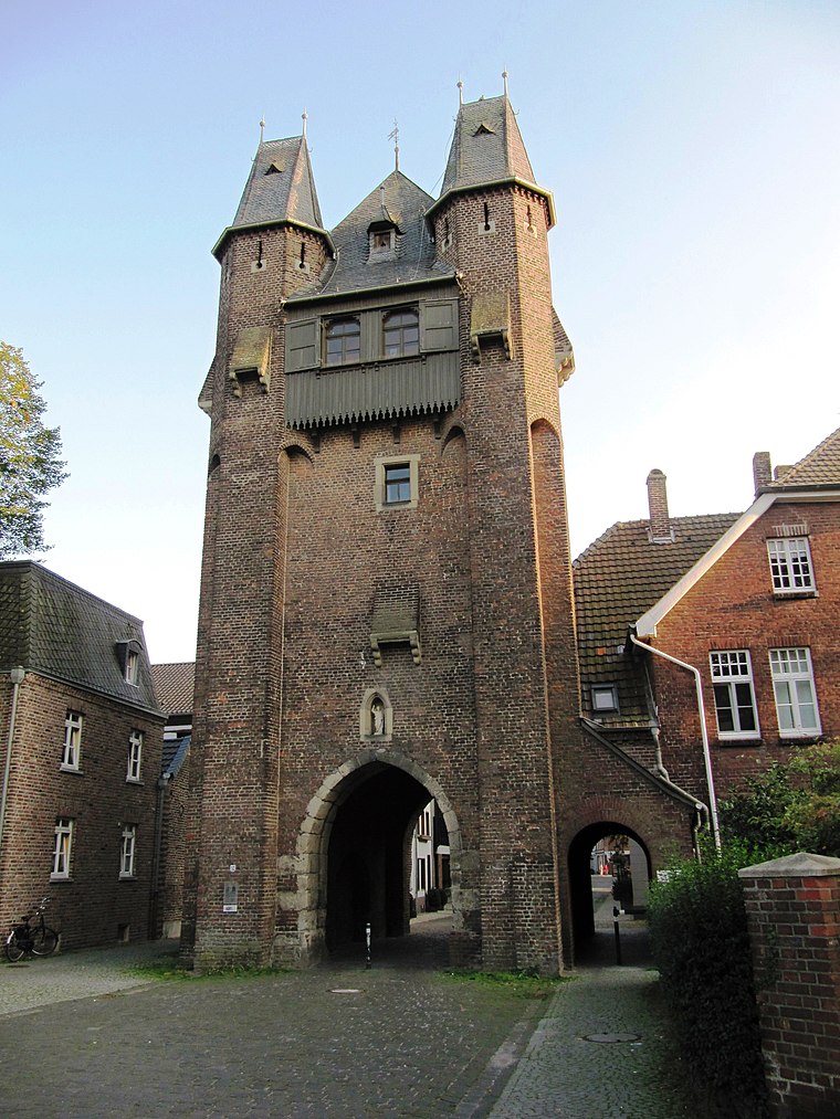
Photo: Palickap, CC BY-SA 4.0.
Kuhtor (Kempen) is situated 3½ km southwest of 7. Station: Jesus wird vom Kreuz genommen.
Places in the Area
Nearby places include Kempen and Hüls.
Kempen
Town

Photo: O.Falkner, CC BY-SA 3.0.
Kempen is a town in the district of Viersen, in North Rhine-Westphalia, Germany. It is situated approximately 30 kilometres northwest of Düsseldorf, and 20 kilometres east of Venlo. Kempen is situated 3½ km southwest of 7. Station: Jesus wird vom Kreuz genommen.
Hüls
Suburb

Photo: Wikimedia, CC BY-SA 3.0.
Hüls is the most northerly district of Krefeld, North Rhine-Westphalia, Germany. Formerly an independent municipality, Hüls has been part of the city of Krefeld since 1975. Hüls is situated 4 km east of 7. Station: Jesus wird vom Kreuz genommen.
Inrath
Suburb

Photo: Carschten, CC BY-SA 4.0.
Inrath is a suburb, which is situated 7 km southeast of 7. Station: Jesus wird vom Kreuz genommen.
7. Station: Jesus wird vom Kreuz genommen
- Categories: building, historic site, place of worship, wayside shrine, and religion
- Location: Kempen, Viersen, Düsseldorf, North Rhine-Westphalia, Germany, Central Europe, Europe
- View on OpenStreetMap
Latitude
51.38392° or 51° 23′ 2″ northLongitude
6.45712° or 6° 27′ 26″ eastInception
1936Open location code
9F389FM4+HROpenStreetMap ID
node 538925105OpenStreetMap feature
amenity=place_of_worshipOpenStreetMap feature
building=wayside_shrineOpenStreetMap feature
historic=wayside_shrineOpenStreetMap attribute
denomination=roman_catholic
This page is based on OpenStreetMap, Wikidata, and Wikimedia Commons.
We’d love your help improving our open data sources. Thank you for contributing.
Satellite Map
Discover 7. Station: Jesus wird vom Kreuz genommen from above in high-definition satellite imagery.
Notable Places Nearby
Highlights include Sporthalle and 6. Station: Jesus stirbt am Kreuz.
Nearby Places
Explore places such as Hohenzollernplatz and Kriegerehrenmal.
North Rhine-Westphalia: Must-Visit Destinations
Delve into Cologne, Düsseldorf, Bonn, and Dortmund.
Curious Churches to Discover
Uncover intriguing churches from every corner of the globe.
About Mapcarta. Data © OpenStreetMap contributors and available under the Open Database License". Text is available under the CC BY-SA 4.0 license, except for photos, directions, and the map. Photo: Daniel Schwen, CC BY-SA 2.5.