Lilliput Hats
Lilliput Hats is a clothing store in Old Toronto, Toronto, Ontario which is located on College Street. Lilliput Hats is situated nearby to College Street United Church, as well as near the pub Sneaky Dee’s.| Tap on a place to explore it |
- Type: Clothing store
- Address: 462 College Street, Toronto
- Wheelchair access: yes
Places of Interest Nearby
Highlights include College Street United Church and Toronto Western Hospital.
College Street United Church
Church

Photo: SimonP, CC BY-SA 3.0.
College Street United Church is a United Church of Canada church at the corner of College and Bathurst Streets in Toronto, Ontario, Canada. As of 1990 the church is part of the same structure as The Channel Club Condo at 456 College Street.
Toronto Western Hospital
Hospital

Photo: Nephron, CC BY-SA 3.0.
The Toronto Western Hospital is a major research and teaching hospital in Toronto, Ontario, Canada. It is part of the University Health Network. It has 256 beds, with 46,000 visits to its emergency department annually. Toronto Western Hospital is situated 410 metres southeast of Lilliput Hats.
Art Gallery of Ontario
Museum
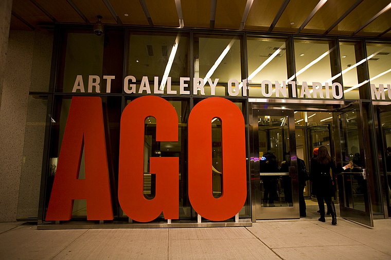
Photo: Owen Byrne, CC BY 2.0.
The Art Gallery of Ontario is an art museum in Toronto, Ontario, Canada. Located on Dundas Street West in the Grange Park neighbourhood of downtown Toronto, the museum complex takes up 45,000 square metres of physical space, making it one of the largest art museums in North America and the second-largest art museum in Toronto, after the Royal Ontario Museum. Art Gallery of Ontario is situated 1¼ km east of Lilliput Hats.
Places in the Area
Nearby places include Little Italy and Harbord Village.
Little Italy
Neighborhood
Little Italy, sometimes referred to as College Street West, is a district in Toronto, Ontario, Canada. It is known for its Italian Canadian restaurants and businesses.
Harbord Village
Neighborhood

Photo: SimonP, CC BY-SA 3.0.
Harbord Village is a neighbourhood in Toronto, Ontario, Canada. It lies just to the west of the University of Toronto, with its most commonly accepted borders being Bloor Street on the north, Spadina Avenue on the east, College Street to the south, and Bathurst Street to the west.
Kensington-Chinatown

Photo: dimitri, CC BY-SA 2.0.
Kensington Market and Chinatown are neighbourhoods in the western side of downtown Toronto. Kensington Market is one of the most eclectic and unique locations in the entire city.
Lilliput Hats
- Category: shop
- Location: Old Toronto, Toronto, Greater Toronto Area, Ontario, Canada, North America
- View on OpenStreetMap
Latitude
43.65645° or 43° 39′ 23″ northLongitude
-79.40852° or 79° 24′ 31″ westOpen location code
87M2MH4R+HHOpenStreetMap ID
node 5431676621OpenStreetMap feature
shop=clothesOpenStreetMap attribute
wheelchair=yes
This page is based on OpenStreetMap, Wikidata, and Wikimedia Commons.
We’d love your help improving our open data sources. Thank you for contributing.
Satellite Map
Discover Lilliput Hats from above in high-definition satellite imagery.
Notable Places Nearby
Highlights include Sneaky Dee’s and DaiLo.
Nearby Places
Explore places such as Campechano and Meridian Credit Union.
Toronto: Must-Visit Destinations
Delve into Yorkville and the Annex, Midtown, East End, and Downtown East.
Curious Clothing Stores to Discover
Uncover intriguing clothing stores from every corner of the globe.
About Mapcarta. Data © OpenStreetMap contributors and available under the Open Database License". Text is available under the CC BY-SA 4.0 license, except for photos, directions, and the map. Photo: S23678, CC BY-SA 3.0.