Solidarita
Solidarita is a tram stop in Praha 10, Prague 10, Prague, Central Bohemia. Solidarita is situated nearby to Comfort Hotel Prague City East, as well as near Post office Prague 10.| Tap on a place to explore it |
Places of Interest Nearby
Highlights include Post office Prague 10 and Prague 10.
Prague 10
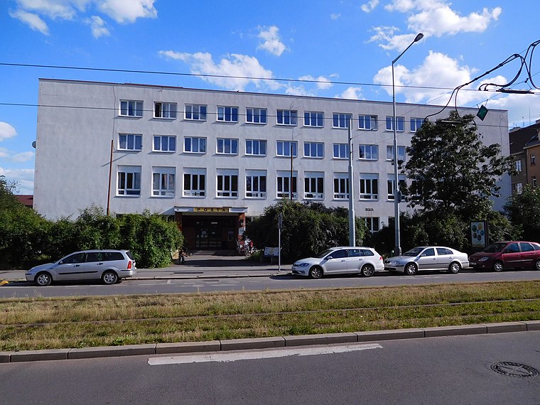
Town hall

Photo: VitVit, CC BY-SA 4.0.
Prague 10 is both a municipal and administrative district in Prague, Czech Republic with more than 110,000 inhabitants. Prague 10 is situated 370 metres west of Solidarita.

Places in the Area
Nearby places include Strašnice and Třebešín.
Strašnice
Suburb

Photo: VitVit, CC BY-SA 4.0.
Strašnice is a cadastral district in Prague. It became part of Prague on 1 January 1922. It lies mostly in the municipal and administrative district of Prague 10 while a small part is in Prague 3.

Žižkov
Suburb

Photo: David Sedlecký, CC BY-SA 3.0.
Žižkov is a cadastral district of Prague, Czech Republic. Most of Žižkov lies in the municipal and administrative district of Prague 3, except for very small parts which are in Prague 8 and Prague 10.
Solidarita
- Type: Tram stop
- Categories: railway stop, transport stop, and transportation
- Location: Praha 10, Prague 10, Prague, Central Bohemia, Czech Republic, Central Europe, Europe
- View on OpenStreetMap
Latitude
50.07686° or 50° 4′ 37″ northLongitude
14.49383° or 14° 29′ 38″ eastOpen location code
9F2P3FGV+PGOpenStreetMap ID
node 5435897796OpenStreetMap feature
public_transport=stop_positionOpenStreetMap feature
railway=tram_stop
This page is based on OpenStreetMap, Wikidata, and Wikimedia Commons.
We’d love your help improving our open data sources. Thank you for contributing.
Satellite Map
Discover Solidarita from above in high-definition satellite imagery.
Places with the Same Name
Discover other places named “Solidarita”.
Notable Places Nearby
Highlights include školní hřiště and Dům dětí a mládeže - Dům UM.
Nearby Places
Explore places such as Pamětní deska Zdeňka Přhody and Grimax.
Prague: Must-Visit Destinations
Delve into Václav Havel Airport Prague, Old Town and Josefov, East bank of Vltava, and New Town and Vysehrad.
Curious Tram Stops to Discover
Uncover intriguing tram stops from every corner of the globe.
About Mapcarta. Data © OpenStreetMap contributors and available under the Open Database License". Text is available under the CC BY-SA 4.0 license, except for photos, directions, and the map. Photo: Diliff, CC BY-SA 3.0.