Staffanstorps bibliotek
Staffanstorps bibliotek is a library in Staffanstorp Municipality, Scania. Staffanstorps bibliotek is situated nearby to the town hall Rådhuset, as well as near the police station Polis.| Tap on a place to explore it |
Places of Interest Nearby
Highlights include Brågarps kyrka and Nevishög Church.
Brågarps kyrka
Church

Photo: Sendelbach, CC BY-SA 3.0.
Brågarps kyrka is a church, which is situated 400 metres northeast of Staffanstorps bibliotek.
Nevishög Church
Church

Photo: Jorchr, CC BY-SA 3.0.
Nevishög Church is situated 2 km southeast of Staffanstorps bibliotek.
Uppåkra Archeologiska Center
Museum

Photo: Boberger, CC BY-SA 4.0.
Uppåkra Archeologiska Center is a museum, which is situated 3½ km northwest of Staffanstorps bibliotek.
Places in the Area
Nearby places include Staffanstorp and Stora Råby.
Staffanstorp
Town

Photo: Jorchr, CC BY-SA 3.0.
Staffanstorp is a locality and the seat of Staffanstorp Municipality, Skåne County, Sweden with 14,808 inhabitants in 2010. Staffanstorp is the largest Scanian settlement that never acquired town privileges before their abolishment in Sweden in 1971.
Stora Råby
Hamlet

Photo: Wikimedia, CC BY-SA 3.0.
Stora Råby is a hamlet, which is situated 4½ km north of Staffanstorps bibliotek.
Jakriborg
Neighborhood
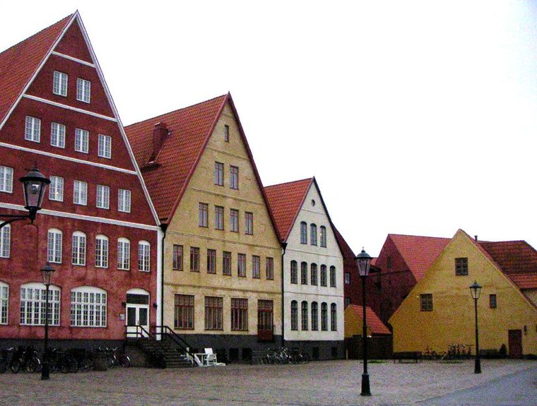
Photo: Wikimedia, CC BY-SA 3.0.
Jakriborg is a housing estate in Hjärup, Staffanstorp Municipality between Malmö and Lund in Scania, southern Sweden. The area was built in the late 1990s by the real estate firm Jakri AB and had been growing ever since. Jakriborg is situated 6 km northwest of Staffanstorps bibliotek.
Staffanstorps bibliotek
- Opening hours:
Monday—Thursday: 10:00 AM—7:00 PM
Friday: 10:00 AM—6:00 PM
Saturday: 10:00 AM—2:00 PM - Type: Library
- Category: education
- Location: Staffanstorp Municipality, Scania, Götaland, Sweden, Nordic countries, Europe
- View on OpenStreetMap
Latitude
55.6443° or 55° 38′ 40″ northLongitude
13.20863° or 13° 12′ 31″ eastOpen location code
9F7MJ6V5+PFOpenStreetMap ID
node 5454402904OpenStreetMap feature
amenity=library
This page is based on OpenStreetMap, Wikidata, and Wikimedia Commons.
We’d love your help improving our open data sources. Thank you for contributing.
Satellite Map
Discover Staffanstorps bibliotek from above in high-definition satellite imagery.
Notable Places Nearby
Highlights include Rådhuset and Polis.
Nearby Places
Explore places such as Ali’s frukt & grönt and Staffanstorp Rådhuset.
Scania: Must-Visit Destinations
Delve into Malmö, Lund, Helsingborg, and Kristianstad.
Curious Libraries to Discover
Uncover intriguing libraries from every corner of the globe.
About Mapcarta. Data © OpenStreetMap contributors and available under the Open Database License". Text is available under the CC BY-SA 4.0 license, except for photos, directions, and the map. Photo: Ainali, CC BY-SA 3.0.