Talleres Piqueras
Talleres Piqueras is an automobile repair shop in Bocairent, Valencia, Valencian Community. Talleres Piqueras is situated nearby to the school Institut d’Educació Secundària Professor Manuel Broseta, as well as near the police station Policia Local.| Tap on a place to explore it |
Places of Interest Nearby
Highlights include Torre de la Font Bona and Castle of Banyeres.
Torre de la Font Bona
Museum
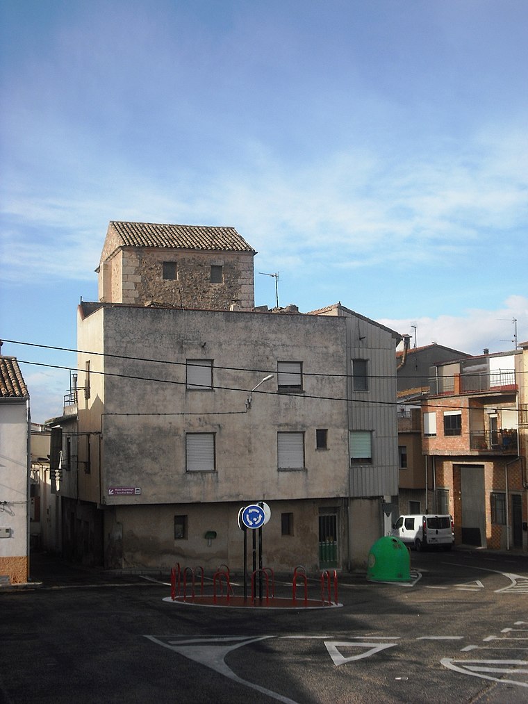
Photo: Qoan, CC BY-SA 3.0.
Torre de la Font Bona is a museum, which is situated 1 km east of Talleres Piqueras.
Castle of Banyeres
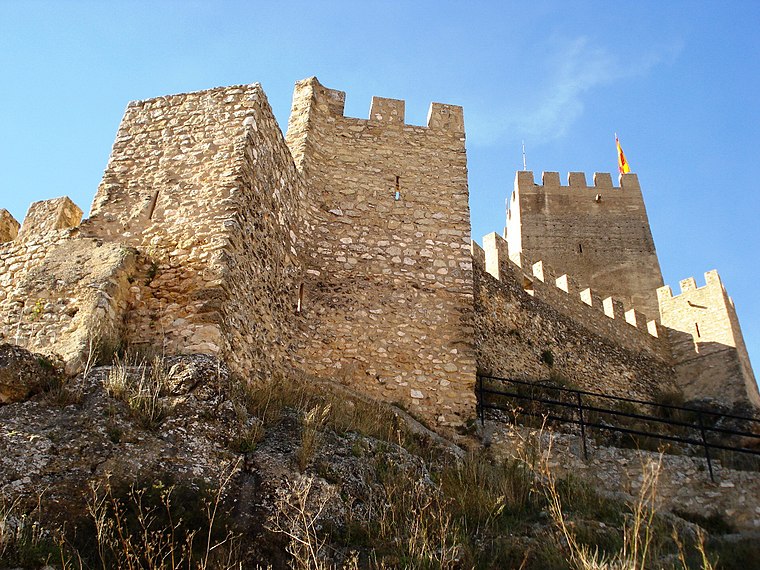
Photo: Qoan, CC BY-SA 3.0.
The castle of Banyeres, Valencian Community, is an Almohad fortress built in the 13th century, which is situated on the tossal de l'Àguila, English: 'Hill of the Eagle', in the geographical center of Banyeres, with an elevation of 830 meters above the sea level. Castle of Banyeres is situated 1¼ km southeast of Talleres Piqueras.
Museo Valenciano del Papel
Museum
 Museo Valenciano del Papel is a museum, which is situated 1 km east of Talleres Piqueras.
Places in the Area
Nearby places include Banyeres de Mariola and El Salze.
Banyeres de Mariola
Village

Photo: Qoan, CC BY-SA 3.0.
Banyeres de Mariola, known simply as Banyeres, is a settlement and a municipality in the north of the province of Alicante, 860 metres above sea level, with a population of 7,500.
El Salze
Hamlet

Photo: Qoan, CC BY-SA 3.0.
El Salze is a hamlet, which is situated 6 km west of Talleres Piqueras.
Bocairent
Village

Photo: Qoan, CC BY-SA 3.0.
Bocairent is a municipality in the comarca of Vall d'Albaida in the Valencian Community, Spain. Bocairent is situated 7 km northeast of Talleres Piqueras.
Talleres Piqueras
- Type: Automobile repair shop
- Categories: shop and transportation
- Location: Bocairent, Valencia, Valencian Community, Eastern Spain, Spain, Iberia, Europe
- View on OpenStreetMap
Latitude
38.72311° or 38° 43′ 23″ northLongitude
-0.66804° or 0° 40′ 5″ westOpen location code
8CCXP8FJ+6QOpenStreetMap ID
node 5456550213OpenStreetMap feature
shop=car_repair
This page is based on OpenStreetMap, Wikidata, and Wikimedia Commons.
We’d love your help improving our open data sources. Thank you for contributing.
Satellite Map
Discover Talleres Piqueras from above in high-definition satellite imagery.
Notable Places Nearby
Highlights include Institut d’Educació Secundària Professor Manuel Broseta and Policia Local.
Nearby Places
Explore places such as Creu Roja and Moeve.
Valencia: Must-Visit Destinations
Delve into Valencia, Sagunto, Gandía, and Xàtiva.
Curious Automobile Repair Shops to Discover
Uncover intriguing automobile repair shops from every corner of the globe.
About Mapcarta. Data © OpenStreetMap contributors and available under the Open Database License". Text is available under the CC BY-SA 4.0 license, except for photos, directions, and the map. Photo: andruby, CC BY 2.0.