Glover-Archibold Trail Sign
Glover-Archibold Trail Sign is in Washington, D.C., Mid-Atlantic. Glover-Archibold Trail Sign is situated nearby to the suburb Glover Park, as well as near Whitehaven Garden.| Tap on a place to explore it |
Places of Interest Nearby
Highlights include Embassy of Russia and Embassy of Germany, Washington, D.C..
Embassy of Russia
Government office
 The Embassy of Russia in Washington, D.C. is the diplomatic mission of the Russian Federation to the United States. The embassy is located at 2650 Wisconsin Avenue, Northwest, Washington, D.C., and oversees consulates in New York and Houston. Embassy of Russia is situated 2,400 feet northeast of Glover-Archibold Trail Sign.
Embassy of Germany, Washington, D.C.
Government office

Photo: Josh Carolina, CC BY 2.0.
The Embassy of Germany in Washington, D.C. is the Federal Republic of Germany's diplomatic mission to the United States. Its chancery, designed by Egon Eiermann and opened in 1964, is located in northwest Washington, D.C. Embassy of Germany, Washington, D.C. is situated 2,900 feet southwest of Glover-Archibold Trail Sign.
Kreeger Museum
Museum

Photo: Quarterczar, Public domain.
The Kreeger Museum is a modern and contemporary non-profit art museum located in Washington, D.C., United States. It is located on Foxhall Road, one of the wealthy residential neighborhoods of the city, in the former home of Carmen and David Lloyd Kreeger… Kreeger Museum is situated 2,000 feet west of Glover-Archibold Trail Sign.
Places in the Area
Nearby places include Glover Park and Burleith.
Glover Park
Suburb
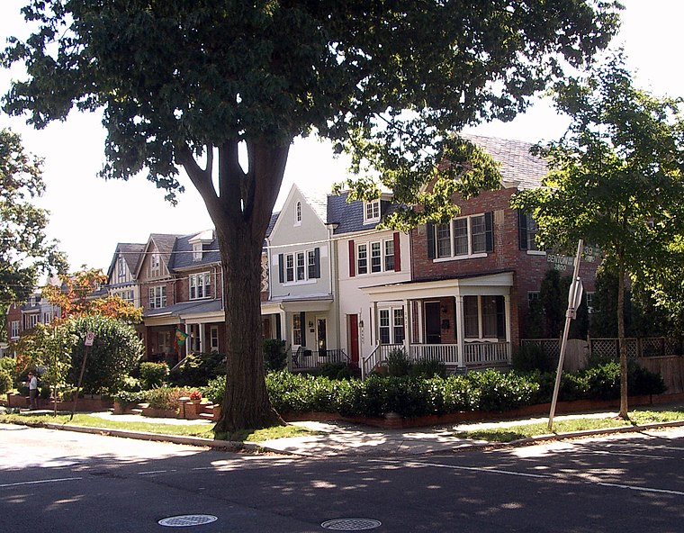
Photo: Nathanael Greene, Public domain.
Glover Park is a neighborhood in northwest Washington, D.C., about a half mile north of Georgetown and just west of the United States Naval Observatory and Number One Observatory Circle.
Burleith
Neighborhood

Photo: Rudi Riet, CC BY-SA 2.0.
Burleith is a neighborhood in Washington, D.C., United States. It is bordered by 35th Street NW to the east, Reservoir Road NW and the historic Georgetown district to the south, Whitehaven Park to the north, and Glover Archbold Park to the west.
Cathedral Heights
Neighborhood

Photo: AgnosticPreachersKid, CC BY-SA 3.0.
Cathedral Heights is a neighborhood of Washington, D.C., located in Northwest D.C. Primarily residential, the neighborhood has a commercial corridor of shops and restaurants along Wisconsin Avenue.
Glover-Archibold Trail Sign
- Type: Sign
- Categories: information and tourism
- Location: Washington, D.C., Mid-Atlantic, United States, North America
- View on OpenStreetMap
Latitude
38.92043° or 38° 55′ 14″ northLongitude
-77.08205° or 77° 4′ 55″ westOperator
National Park ServiceOpen location code
87C4WWC9+55OpenStreetMap ID
node 5497352314OpenStreetMap feature
tourism=information
This page is based on OpenStreetMap, Wikidata, and Wikimedia Commons.
We’d love your help improving our open data sources. Thank you for contributing.
Satellite Map
Discover Glover-Archibold Trail Sign from above in high-definition satellite imagery.
Notable Places Nearby
Highlights include Whitehaven Garden and Stoddert Recreation Center.
Nearby Places
Explore places such as Park Crest and Phylmar Plaza.
Washington, D.C.: Must-Visit Destinations
Delve into West End, Georgetown, East End, and Shaw.
Curious Places to Discover
Uncover intriguing places from every corner of the globe.
About Mapcarta. Data © OpenStreetMap contributors and available under the Open Database License". Text is available under the CC BY-SA 4.0 license, except for photos, directions, and the map. Photo: Peterfitzgerald, CC BY-SA 3.0.