Försterei Ausbau
Försterei Ausbau is a hamlet in Hammer an der Uecker, Vorpommern-Greifswald, Mecklenburg-Western Pomerania. Försterei Ausbau is situated nearby to the village Jatznick, as well as near the hamlet Sandförde.| Tap on a place to explore it |
Places of Interest
Highlights include Jatznick station and Ukranenland.
Jatznick station
Railway stop

Photo: Mr. Pommeroy, CC BY-SA 4.0.
Jatznick is a railway station in the village of Jatznick, Mecklenburg-Vorpommern, Germany. The station lies of the Angermünde–Stralsund railway and the Jatznick–Ueckermünde railway line and the train services are operated by Deutsche Bahn and Ostdeutsche Eisenbahn.
Ukranenland
Museum

Photo: Ökologix, Public domain.
Ukranenland is an archeological village-museum in Torgelow in north-east Germany. The name comes from an old Slavic tribe, the Ukri. Ukranenland is situated 3½ km northeast of Försterei Ausbau.
Sandförde station
Railway stop
Sandförde is a railway station in the village of Sandförde, Mecklenburg-Vorpommern, Germany. The station lies on the Angermünde–Stralsund railway and the train services are operated by DB Regio Nordost. Sandförde station is situated 3½ km south of Försterei Ausbau.
Places in the Area
Nearby places include Jatznick and Torgelow.
Jatznick
Village

Photo: Botaurus, Public domain.
Jatznick is a municipality in the Vorpommern-Greifswald district, in Mecklenburg-Vorpommern in north-eastern Germany.
Torgelow
Town
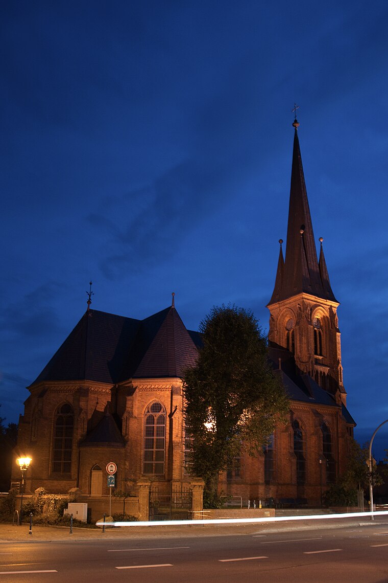
Photo: Mathes1984, CC BY-SA 3.0.
Torgelow is a municipality in the Vorpommern-Greifswald district, in Mecklenburg-Western Pomerania in north-eastern Germany. It is situated on the river Uecker, 12 km south of Ueckermünde, and 41 km northwest of Szczecin, Poland. Torgelow is situated 5 km northeast of Försterei Ausbau.
Stallberg
Hamlet

Photo: Wikimedia, CC BY-SA 3.0.
Stallberg is a hamlet, which is situated 5 km southeast of Försterei Ausbau.
Försterei Ausbau
- Type: Hamlet
- Category: locality
- Location: Hammer an der Uecker, Vorpommern-Greifswald, Mecklenburg-Western Pomerania, Germany, Central Europe, Europe
- View on OpenStreetMap
Latitude
53.59704° or 53° 35′ 49″ northLongitude
13.96194° or 13° 57′ 43″ eastOpen location code
9F5MHXW6+RQOpenStreetMap ID
node 5498776720OpenStreetMap feature
place=hamlet
This page is based on OpenStreetMap, Wikidata, and Wikimedia Commons.
We’d love your help improving our open data sources. Thank you for contributing.
Satellite Map
Discover Försterei Ausbau from above in high-definition satellite imagery.
Places with the Same Name
Discover other places named “Försterei Ausbau”.
Localities in the Area
Explore places such as Sandförde and Wilhelmsthal.
Notable Places Nearby
Highlights include Feuerwehrhaus and Jatznick.
Mecklenburg-Western Pomerania: Must-Visit Destinations
Delve into Schwerin, Rostock, Wismar, and Stralsund.
Curious Hamlets to Discover
Uncover intriguing hamlets from every corner of the globe.
About Mapcarta. Data © OpenStreetMap contributors and available under the Open Database License". Text is available under the CC BY-SA 4.0 license, except for photos, directions, and the map. Photo: Schiwago, CC BY 2.5.