Kulturhauptstadt Linz 09
Kulturhauptstadt Linz 09 is a work of art in Linz, Upper Austria. Kulturhauptstadt Linz 09 is situated nearby to Playground - Löwenfeldvilla, as well as near the sports venue ASKÖ Donau.| Tap on a place to explore it |
Places of Interest Nearby
Highlights include Pfarrkirche Kleinmünchen and Baumwollspinnerei Rädler.
Pfarrkirche Kleinmünchen
Church

Photo: Haeferl, CC BY-SA 3.0 at.
Pfarrkirche Kleinmünchen is a church, which is situated 410 metres east of Kulturhauptstadt Linz 09.
Baumwollspinnerei Rädler

Photo: Dieringer63, CC BY-SA 4.0.
Baumwollspinnerei Rädler is situated 1 km southwest of Kulturhauptstadt Linz 09.
Johanneskirche (Linz)
Church
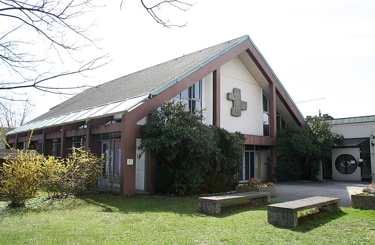
Photo: Wikimedia, CC BY-SA 3.0.
Johanneskirche (Linz) is a church, which is situated 1½ km west of Kulturhauptstadt Linz 09.
Places in the Area
Nearby places include SolarCity Linz and Makartviertel.
SolarCity Linz
Suburb
 The solarCity is an energy-saving living district in Linz-Pichling, Austria, which provides living space for about 4,000 people. The houses were built using a low-energy design. SolarCity Linz is situated 3½ km east of Kulturhauptstadt Linz 09.
Makartviertel
Neighborhood

Photo: Lewenstein, CC BY-SA 3.0 at.
Makartviertel is a neighborhood, which is situated 4 km north of Kulturhauptstadt Linz 09.
Ansfelden
Town

Photo: Wikimedia, CC BY-SA 3.0.
Ansfelden is a town in the Austrian state of Upper Austria. The rivers Traun and Krems run through the municipality. The town is perhaps best known for being the birthplace of the composer and organist Anton Bruckner. Ansfelden is situated 5 km south of Kulturhauptstadt Linz 09.
Kulturhauptstadt Linz 09
- Type: Work of art
- Artwork type: sculpture
- Category: tourism
- Location: Linz, Upper Austria, Austria, Central Europe, Europe
- View on OpenStreetMap
Latitude
48.25397° or 48° 15′ 14″ northLongitude
14.30934° or 14° 18′ 34″ eastOpen location code
8FWP7835+HPOpenStreetMap ID
node 5503709608OpenStreetMap feature
tourism=artworkOpenStreetMap attribute
artwork_type=sculpture
This page is based on OpenStreetMap, Wikidata, and Wikimedia Commons.
We’d love your help improving our open data sources. Thank you for contributing.
Satellite Map
Discover Kulturhauptstadt Linz 09 from above in high-definition satellite imagery.
Notable Places Nearby
Highlights include Playground - Löwenfeldvilla and ASKÖ Donau.
Nearby Places
Explore places such as Flötzerweg and Billa.
Upper Austria: Must-Visit Destinations
Delve into Hallstatt, Wels, Steyr, and Fugging.
Curious Work Of Arts to Discover
Uncover intriguing work of arts from every corner of the globe.
About Mapcarta. Data © OpenStreetMap contributors and available under the Open Database License". Text is available under the CC BY-SA 4.0 license, except for photos, directions, and the map. Photo: Rsuessrb, CC BY-SA 3.0.