Weichhof
Weichhof is a locality in Griesheim, Darmstadt-Dieburg, Hesse. Weichhof is situated nearby to the locality Schaftenheu, as well as near Plattenhecken.| Tap on a place to explore it |
Places of Interest
Highlights include Griesheimer Düne und Eichwäldchen and Griesheim Airport.
Griesheimer Düne und Eichwäldchen
Nature reserve
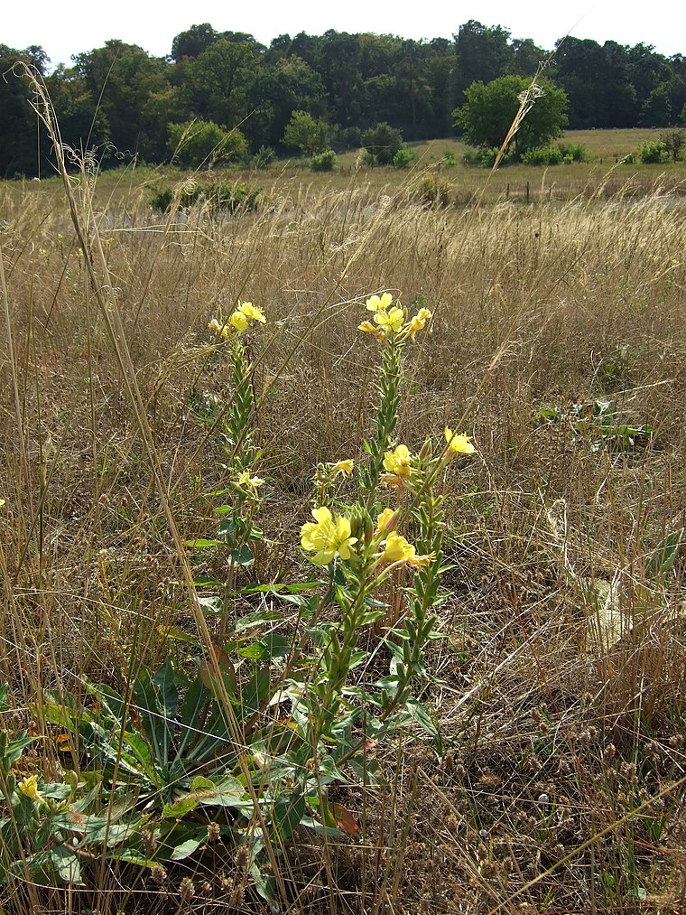
Photo: Thiotrix, CC BY-SA 3.0.
Griesheimer Düne und Eichwäldchen is a nature reserve.
Griesheim Airport
Aerodrome
 Griesheim Airport is a private airfield in Germany, located 1-mile southwest of Griesheim; approximately 270 miles southwest of Berlin. Formerly a NATO military airfield, it was closed in 1992. Griesheim Airport is situated 3 km northeast of Weichhof.
Dagger Complex
Military installation

Photo: Kuebi, CC BY-SA 3.0.
The Dagger Complex is a US military base in Darmstadt, close to Griesheim and located at the Eberstädter Weg, south of the August-Euler-Airfield. The complex is under US Army Intelligence and Security Command command on behalf of the US National Security Agency and is officially known as Subunit 1 operated by USMC G Company. Dagger Complex is situated 3 km northeast of Weichhof.
Places in the Area
Nearby places include St.-Barbara-Siedlung and Darmstadt-Eberstadt.
St.-Barbara-Siedlung
Neighborhood

Photo: Jolly Lobster, CC BY-SA 4.0.
St.-Barbara-Siedlung is a neighborhood, which is situated 7 km east of Weichhof.
Darmstadt-Eberstadt
Suburb

Photo: Bin im Garten, CC BY-SA 3.0.
Eberstadt is the southernmost borough of Darmstadt in Hessen, Germany with a population of 23,728. Darmstadt-Eberstadt is situated 7 km east of Weichhof.
Bessungen
Quarter

Photo: Wikimedia, CC BY-SA 3.0.
Bessungen is a district in the South of the city of Darmstadt in Hesse. Bessungen is situated 8 km east of Weichhof.
Weichhof
- Type: Locality
- Location: Griesheim, Darmstadt-Dieburg, South Hesse, Hesse, Germany, Central Europe, Europe
- View on OpenStreetMap
Latitude
49.83341° or 49° 50′ 0″ northLongitude
8.55277° or 8° 33′ 10″ eastOpen location code
8FXCRHM3+94OpenStreetMap ID
node 5505143072OpenStreetMap feature
place=locality
This page is based on OpenStreetMap, Wikidata, and Wikimedia Commons.
We’d love your help improving our open data sources. Thank you for contributing.
Satellite Map
Discover Weichhof from above in high-definition satellite imagery.
Localities in the Area
Explore places such as Schaftenheu and Plattenhecken.
Notable Places Nearby
Highlights include Biogasanlage and Goller Wäldchen.
South Hesse: Must-Visit Destinations
Delve into Darmstadt, Bensheim, Lorsch, and Heppenheim.
Curious Localities to Discover
Uncover intriguing localities from every corner of the globe.
About Mapcarta. Data © OpenStreetMap contributors and available under the Open Database License". Text is available under the CC BY-SA 4.0 license, except for photos, directions, and the map. Photo: Mylius, GFDL.