GR13.7 Via Algarviana
GR13.7 Via Algarviana is in Ferreiras, Albufeira, Faro District. GR13.7 Via Algarviana is situated nearby to the quarry Tecnovia, as well as near the village Ferreiras.| Tap on a place to explore it |
Places of Interest Nearby
Highlights include Albufeira-Ferreiras railway station and Castle of Paderne.
Albufeira-Ferreiras railway station
Railway station

Photo: Nuno Morão, CC BY-SA 2.0.
The Albufeira-Ferreiras Station is the railway station for the city of Albufeira, Algarve, in Portugal. Situated in the civil parish of Ferreiras, in the north of the municipality of Albufeira. The station opened on 1 July 1889. Albufeira-Ferreiras railway station is situated 1¼ km southwest of GR13.7 Via Algarviana.
Castle of Paderne

Photo: Beechgrove, Public domain.
The Castle of Paderne is an ancient fortification located in the civil parish of Paderne, municipality of Albufeira, in the Portuguese Algarve. It was constructed in the later 12th century by Berbers, in an area around 7.5 kilometres inland. Castle of Paderne is situated 3 km northeast of GR13.7 Via Algarviana.
Estádio da Nora
Stadium
Estádio da Nora is a football stadium located in the parish of Ferreiras, municipality of Albufeira, Portugal. It is currently managed and used by FC Ferreiras, which competes in the Algarve 1st District Division championship. Estádio da Nora is situated 2 km southwest of GR13.7 Via Algarviana.
Places in the Area
Nearby places include Ferreiras and Tunes.
Ferreiras
Village

Photo: Creative Commons, CC BY-SA 4.0.
Ferreiras is a civil parish in the southern Portuguese municipality of Albufeira. The population in 2011 was 6,406 in an area of 20.13 km².
Tunes
Village

Photo: Creative Commons, CC BY-SA 4.0.
Tunes is a village in the civil parish of Algoz e Tunes, in the municipality of Silves, in Algarve region, Portugal. It was the seat of its own civil parish until 2013 when the parish of Tunes merged into the new parish of Algoz e Tunes. Tunes is situated 4½ km northwest of GR13.7 Via Algarviana.
Paderne
Village
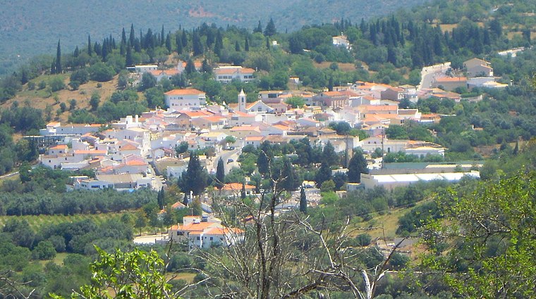
Photo: Creative Commons, CC BY-SA 4.0.
Paderne is a village and civil parish in the municipality of Albufeira, in the Portuguese region of Algarve. The population in 2011 was 3,304, in an area of 52.56 km2. Paderne is situated 4½ km north of GR13.7 Via Algarviana.
GR13.7 Via Algarviana
- Type: Information
- Category: tourism
- Location: Ferreiras, Albufeira, Faro District, Algarve, Portugal, Iberia, Europe
- View on OpenStreetMap
Latitude
37.13576° or 37° 8′ 9″ northLongitude
-8.22223° or 8° 13′ 20″ westOpen location code
8C9H4QPH+84OpenStreetMap ID
node 5512344529OpenStreetMap feature
tourism=information
This page is based on OpenStreetMap, Wikidata, and Wikimedia Commons.
We’d love your help improving our open data sources. Thank you for contributing.
Satellite Map
Discover GR13.7 Via Algarviana from above in high-definition satellite imagery.
Places with the Same Name
Discover other places named “GR13.7 Via Algarviana”.
Notable Places Nearby
Highlights include Tecnovia and Albufeira Train Station.
Nearby Places
Explore places such as GR13.7 Via Algarviana and GR13.7 wrong way.
Algarve: Must-Visit Destinations
Delve into Faro, Portimão, Lagos, and Tavira.
Curious Places to Discover
Uncover intriguing places from every corner of the globe.
About Mapcarta. Data © OpenStreetMap contributors and available under the Open Database License". Text is available under the CC BY-SA 4.0 license, except for photos, directions, and the map. Photo: Jose A., CC BY 2.0.