Gwerz
Gwerz is a locality in Friesach, Sankt Veit an der Glan District, Carinthia. Gwerz is situated nearby to the hamlet Ingolsthal, as well as near Moserwinkl.| Tap on a place to explore it |
Places of Interest
Highlights include Schloss Grades and Auerlingsee.
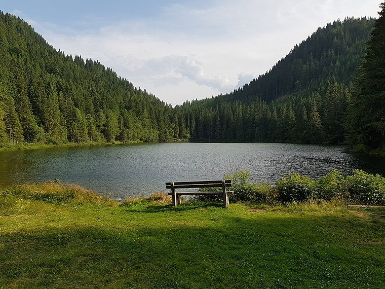
Schloss Grades
Castle

Photo: Johann Jaritz, CC BY-SA 3.0 at.
Schloss Grades is a castle, which is situated 4 km southwest of Gwerz.
Places in the Area
Nearby places include Sankt Lambrecht and Zeutschach.
Sankt Lambrecht
Village

Photo: Dnalor 01, CC BY-SA 3.0.
Sankt Lambrecht is a market town in the district of Murau in Styria, Austria. It is known for St. Lambrecht's Abbey, one of the most important Benedictine monasteries in Austria. Sankt Lambrecht is situated 7 km north of Gwerz.
Zeutschach
Hamlet

Photo: Christian Pirkl, CC BY-SA 4.0.
Zeutschach is a former municipality in the district of Murau in Styria, Austria. Since the 2015 Styria municipal structural reform, it is part of the municipality Neumarkt in der Steiermark. Zeutschach is situated 9 km northeast of Gwerz.
Gwerz
- Type: Locality
- Location: Friesach, Sankt Veit an der Glan District, Carinthia, Austria, Central Europe, Europe
- View on OpenStreetMap
Latitude
47.0095° or 47° 0′ 34″ northLongitude
14.28641° or 14° 17′ 11″ eastOpen location code
8FVP275P+QHOpenStreetMap ID
node 5536542210OpenStreetMap feature
place=locality
This page is based on OpenStreetMap, Wikidata, and Wikimedia Commons.
We’d love your help improving our open data sources. Thank you for contributing.
Satellite Map
Discover Gwerz from above in high-definition satellite imagery.
Localities in the Area
Explore places such as Gwerz and Ingolsthal.
Notable Places Nearby
Highlights include Rietzingerhöhe and Koglerkogel.
Carinthia: Must-Visit Destinations
Delve into Klagenfurt, Villach, Wörthersee, and Spittal an der Drau.
Curious Localities to Discover
Uncover intriguing localities from every corner of the globe.
About Mapcarta. Data © OpenStreetMap contributors and available under the Open Database License". Text is available under the CC BY-SA 4.0 license, except for photos, directions, and the map. Photo: Neithan90, CC0.