T. G. Masaryk bust
T. G. Masaryk bust is a memorial in Praha 21, Prague 21, Prague, Central Bohemia. T. G. Masaryk bust is situated nearby to the town hall Praha 21, as well as near the police station OŘ Praha III - MOP Újezd nad Lesy.| Tap on a place to explore it |
Photo: Frettie, CC BY-SA 4.0.
Places of Interest Nearby
Highlights include Praha-Klánovice and V Panenkách forest.
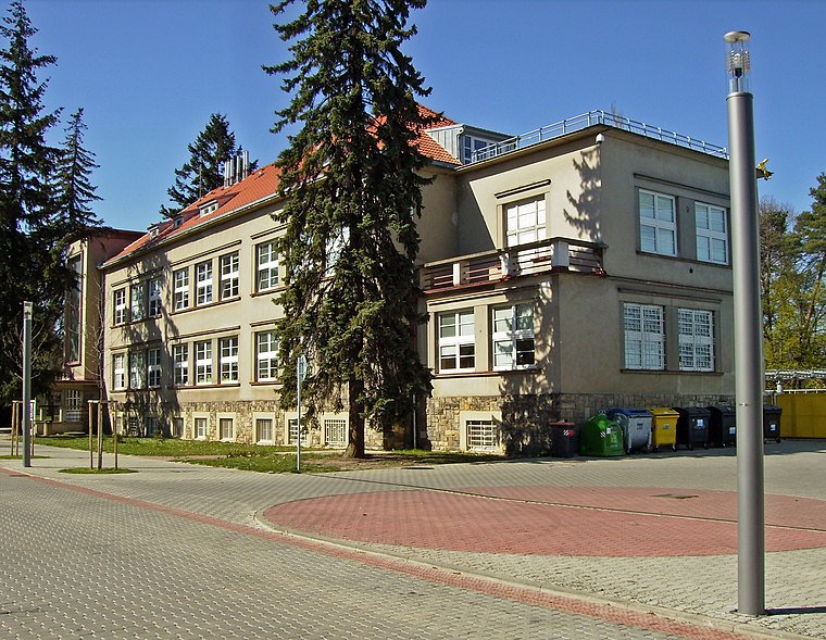
Praha-Klánovice
Railway stop

Photo: Vojtasekd, CC BY-SA 4.0.
Praha-Klánovice is a railway stop, which is situated 1 km north of T. G. Masaryk bust.

Cemetery in Újezd nad Lesy
Cemetery

Photo: Alena Pokorná, CC BY-SA 4.0.
Cemetery in Újezd nad Lesy is situated 1½ km south of T. G. Masaryk bust.
Places in the Area
Nearby places include Klánovice and Koloděje.
Klánovice
Suburb
 Klánovice is a municipal district and cadastral area in Prague, Czechia. Originally a village, later a municipality, it became a district of Prague in 1974.
Koloděje
Suburb

Photo: Packa, CC BY-SA 2.5.
Koloděje is a municipal district and cadastral area in Prague. It is located in the eastern part of the city. As of 2021, there were 1,626 inhabitants living in Koloděje.
Sibřina
Village

Photo: Packa, CC BY-SA 2.5.
Sibřina is a municipality and village in Prague-East District in the Central Bohemian Region of the Czech Republic. It has about 1,100 inhabitants. Sibřina lies on eastern border of Prague, approximately 18 kilometres east of its centre. Sibřina is situated 2½ km south of T. G. Masaryk bust.
T. G. Masaryk bust
- Type: Memorial
- Also known as: “Tomáš Garrigue Masaryk”
- Categories: bust and historic site
- Location: Praha 21, Prague 21, Prague, Central Bohemia, Czech Republic, Central Europe, Europe
- View on OpenStreetMap
Latitude
50.07789° or 50° 4′ 40″ northLongitude
14.65961° or 14° 39′ 35″ eastOpen location code
9F2P3MH5+5ROpenStreetMap ID
node 5538381357OpenStreetMap feature
historic=memorialWikidata ID
Q67206995
This page is based on OpenStreetMap, Wikidata, and Wikimedia Commons.
We’d love your help improving our open data sources. Thank you for contributing.
Satellite Map
Discover T. G. Masaryk bust from above in high-definition satellite imagery.
In Other Languages
“T. G. Masaryk bust” goes by many names.
- Czech: “Busta T. G. Masaryka v Újezdě nad Lesy”
Notable Places Nearby
Highlights include Praha 21 and OŘ Praha III - MOP Újezd nad Lesy.
Nearby Places
Explore places such as Park u školy and Hulická.
Prague: Must-Visit Destinations
Delve into Václav Havel Airport Prague, Old Town and Josefov, East bank of Vltava, and New Town and Vysehrad.
Curious Memorials to Discover
Uncover intriguing memorials from every corner of the globe.
About Mapcarta. Data © OpenStreetMap contributors and available under the Open Database License". Text is available under the CC BY-SA 4.0 license, except for photos, directions, and the map. Photo: Frettie, CC BY-SA 4.0.