Infotafel 4 von 10
Infotafel 4 von 10 is in Bad Dürrenberg, Saalekreis, Saxony-Anhalt. Infotafel 4 von 10 is situated nearby to the community center Haus der Begegnung, as well as near the park Lützener Platz.| Tap on a place to explore it |
Places of Interest Nearby
Highlights include Bad Dürrenberg station and St. Bonifatius.
Bad Dürrenberg station
Railway stop

Photo: Jwaller, CC BY-SA 3.0.
Bad Dürrenberg station is a railway station in the municipality of Bad Dürrenberg, located in the Saalekreis district in Saxony-Anhalt, Germany. Bad Dürrenberg station is situated 360 metres northwest of Infotafel 4 von 10.
St. Bonifatius
Church

Photo: DorisAntony, CC BY-SA 4.0.
St. Bonifatius is a church, which is situated 1 km west of Infotafel 4 von 10.
Borlachmuseum
Museum

Photo: Radler59, CC BY-SA 4.0.
Borlachmuseum is situated 1¼ km southwest of Infotafel 4 von 10.
Places in the Area
Nearby places include Bad Dürrenberg and Leuna.
Bad Dürrenberg
Town

Photo: Wikimedia, CC BY-SA 3.0.
Bad Dürrenberg is a spa town in the Saalekreis district, in Saxony-Anhalt, Germany. It is situated on the river Saale, approx. 8 km southeast of Merseburg. It is known for its historic graduation tower, the largest one in Germany.
Leuna
Town
 Leuna is a town in Saxony-Anhalt, eastern Germany, south of Merseburg and Halle, on the river Saale. The town is known for the Leunawerke, at 13 km2 one of the biggest chemical industrial complexes in Germany, where a very wide range of chemicals and plastics is produced. Leuna is situated 4 km northwest of Infotafel 4 von 10.
Oebles-Schlechtewitz
Village
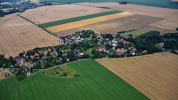
Photo: Wolkenkratzer, CC BY-SA 4.0.
Oebles-Schlechtewitz is a village, which is situated 5 km south of Infotafel 4 von 10.
Infotafel 4 von 10
- Type: Sign
- Categories: information and tourism
- Location: Bad Dürrenberg, Saalekreis, Saxony-Anhalt, Germany, Central Europe, Europe
- View on OpenStreetMap
Latitude
51.30305° or 51° 18′ 11″ northLongitude
12.07496° or 12° 4′ 30″ eastOpen location code
9F3J833F+6XOpenStreetMap ID
node 5544538645OpenStreetMap feature
tourism=information
This page is based on OpenStreetMap, Wikidata, and Wikimedia Commons.
We’d love your help improving our open data sources. Thank you for contributing.
Satellite Map
Discover Infotafel 4 von 10 from above in high-definition satellite imagery.
Notable Places Nearby
Highlights include Haus der Begegnung and Lützener Platz.
Nearby Places
Explore places such as Infotafel 8 von 10 and Infotafel 3 von10.
Saxony-Anhalt: Must-Visit Destinations
Delve into Magdeburg, Halle, Wittenberg, and Quedlinburg.
Curious Places to Discover
Uncover intriguing places from every corner of the globe.
About Mapcarta. Data © OpenStreetMap contributors and available under the Open Database License". Text is available under the CC BY-SA 4.0 license, except for photos, directions, and the map. Photo: GMM, Public domain.