Staro Topolje
Staro Topolje is a railway stop in Brod-Posavina County, Croatia. Staro Topolje is situated nearby to the railway stop Staro Toplje, as well as near the village Oprisavci.| Tap on a place to explore it |
Places of Interest Nearby
Highlights include Andrijevci railway station.
Andrijevci railway station
Railway station
The Andrijevci railway station is a railway station on the Novska–Tovarnik railway. Andrijevci railway station is situated 3½ km east of Staro Topolje.
Places in the Area
Nearby places include Staro Topolje and Oprisavci.

Oprisavci
Village

Photo: Frka, CC BY-SA 3.0.
Oprisavci is a village and a municipality in Brod-Posavina County, Croatia. Oprisavci is situated 4 km south of Staro Topolje.
Donji Andrijevci
Village
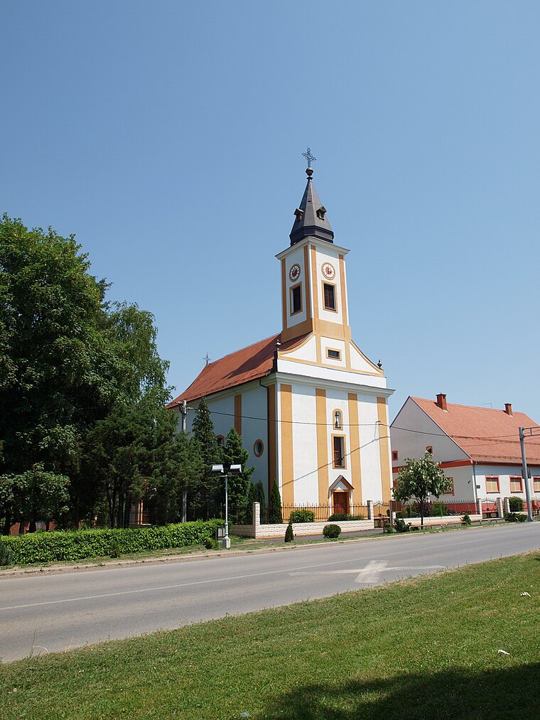
Photo: Frka, CC BY-SA 3.0.
Donji Andrijevci is a village and a municipality in the Brod-Posavina County, Croatia. Donji Andrijevci is situated 4 km east of Staro Topolje.
Staro Topolje
- Type: Railway stop
- Categories: transport stop and transportation
- Location: Brod-Posavina County, Croatia, Balkans, Europe
- View on OpenStreetMap
Latitude
45.18284° or 45° 10′ 58″ northLongitude
18.24703° or 18° 14′ 49″ eastOpen location code
8FQW56MW+4ROpenStreetMap ID
node 5555091790OpenStreetMap feature
public_transport=stop_positionOpenStreetMap feature
railway=stop
This page is based on OpenStreetMap, Wikidata, and Wikimedia Commons.
We’d love your help improving our open data sources. Thank you for contributing.
Satellite Map
Discover Staro Topolje from above in high-definition satellite imagery.
Places with the Same Name
Discover other places named “Staro Topolje”.
Notable Places Nearby
Highlights include Staro Toplje and Kapelica sv. Vida.
Nearby Places
Explore places such as Staro Topolje and Adria Oil.
Croatia: Must-Visit Destinations
Delve into Zagreb, Dubrovnik, Split, and Rijeka.
Curious Railway Stops to Discover
Uncover intriguing railway stops from every corner of the globe.
About Mapcarta. Data © OpenStreetMap contributors and available under the Open Database License". Text is available under the CC BY-SA 4.0 license, except for photos, directions, and the map. Photo: Wikimedia, CC BY-SA 3.0.