Wildrosenleite
Wildrosenleite is in Simmelsdorf, Nürnberger Land, Bavaria. Wildrosenleite is situated nearby to the village Winterstein, as well as near the peak Fuchsbühl.| Tap on a place to explore it |
Places of Interest Nearby
Highlights include Burgruine Winterstein and St. Helena.
Burgruine Winterstein
Castle
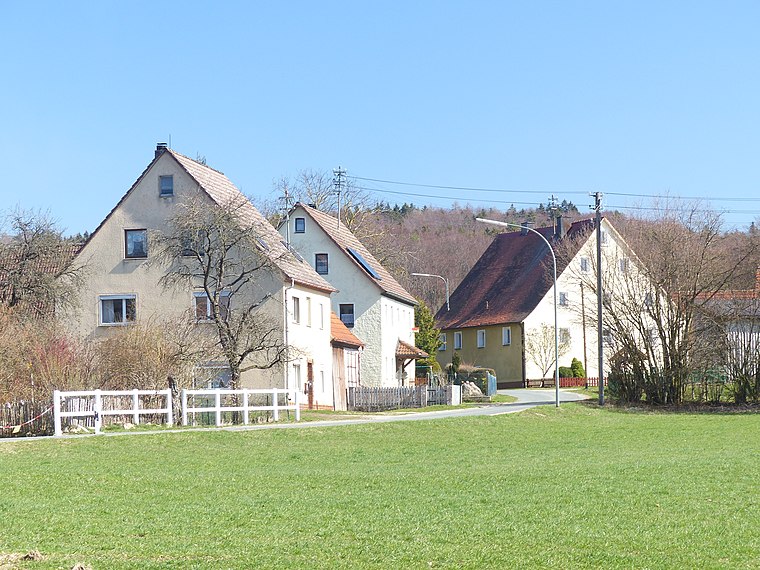
 Burgruine Winterstein is a castle, which is situated 420 metres southeast of Wildrosenleite.
St. Helena
Church

Photo: Edelmauswaldgeist, CC0.
St. Helena is a church, which is situated 2 km east of Wildrosenleite.
Hiltpoltstein Castle
 Hiltpoltstein Castle was originally a high mediaeval aristocratic castle dating to the 11th or 12th century. It stands in the centre of the market village of Markt Hiltpoltstein in the Upper Franconian county of Forchheim in the south German state of Bavaria. Hiltpoltstein Castle is situated 3 km north of Wildrosenleite.
Places in the Area
Nearby places include Winterstein and Erlastrut.


Wildrosenleite
- Type: Sign
- Categories: information and tourism
- Location: Simmelsdorf, Nürnberger Land, Middle Franconia, Franconia, Bavaria, Germany, Central Europe, Europe
- View on OpenStreetMap
Latitude
49.63255° or 49° 37′ 57″ northLongitude
11.32788° or 11° 19′ 40″ eastElevation
518 metres (1,699 feet)Open location code
8FXHJ8MH+25OpenStreetMap ID
node 5573092005OpenStreetMap feature
tourism=information
This page is based on OpenStreetMap, Wikidata, and Wikimedia Commons.
We’d love your help improving our open data sources. Thank you for contributing.
Satellite Map
Discover Wildrosenleite from above in high-definition satellite imagery.
Notable Places Nearby
Highlights include Pferdefreunde Winterstein and Fuchsbühl.
Nearby Places
Explore places such as Copy-Shop and Werkzeugschleiferei Meier.
Middle Franconia: Must-Visit Destinations
Delve into Nuremberg, Erlangen, Fürth, and Ansbach.
Curious Places to Discover
Uncover intriguing places from every corner of the globe.
About Mapcarta. Data © OpenStreetMap contributors and available under the Open Database License". Text is available under the CC BY-SA 4.0 license, except for photos, directions, and the map. Photo: Berthold Werner, CC0.