Füllenstallbreite
Füllenstallbreite is a locality in Lehrte, Hanover Region, Lower Saxony. Füllenstallbreite is situated nearby to the hamlet Gut Adolphshof, as well as near the locality Neubruchskamp.| Tap on a place to explore it |
Places of Interest
Highlights include Mehrum Power Station and Hl. Dreifaltigkeit.
Mehrum Power Station
Power station

Photo: Rabanus Flavus, Public domain.
Mehrum Power Station was a coal-fired power station in Mehrum, Lower Saxony, Germany. It lies about 20km east of Hannover. It had an output of 690 megawatts. Mehrum Power Station is situated 2½ km southwest of Füllenstallbreite.
Hl. Dreifaltigkeit
Church
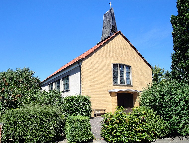
Photo: Reise Reise, CC BY-SA 4.0.
Hl. Dreifaltigkeit is a church, which is situated 3 km north of Füllenstallbreite.
Feuerwehrgerätehaus Hämelerwald
Fire station

Photo: Reise Reise, CC BY-SA 3.0.
Feuerwehrgerätehaus Hämelerwald is a fire station, which is situated 2½ km north of Füllenstallbreite.
Places in the Area
Nearby places include Gut Adolphshof and Schwicheldt.

Schwicheldt
Village

Photo: Losch, CC BY-SA 3.0.
Schwicheldt is a village, which is situated 3½ km southeast of Füllenstallbreite.
Rosenthal
Village

Photo: Andreas Huber creativ Photo, CC BY-SA 3.0.
Rosenthal is a village, which is situated 5 km southeast of Füllenstallbreite.
Füllenstallbreite
- Type: Locality
- Location: Lehrte, Hanover Region, Lower Saxony, Germany, Central Europe, Europe
- View on OpenStreetMap
Latitude
52.32986° or 52° 19′ 48″ northLongitude
10.11588° or 10° 6′ 57″ eastOpen location code
9F4G84H8+W9OpenStreetMap ID
node 5578243710OpenStreetMap feature
place=locality
This page is based on OpenStreetMap, Wikidata, and Wikimedia Commons.
We’d love your help improving our open data sources. Thank you for contributing.
Satellite Map
Discover Füllenstallbreite from above in high-definition satellite imagery.
Localities in the Area
Explore places such as Neubruchskamp and Holzkamp.
Notable Places Nearby
Highlights include Hainwald and Schierker Teich.
Hanover Region: Must-Visit Destinations
Delve into Hanover, Hildesheim, Nienburg, and Verden an der Aller.
Curious Localities to Discover
Uncover intriguing localities from every corner of the globe.
About Mapcarta. Data © OpenStreetMap contributors and available under the Open Database License". Text is available under the CC BY-SA 4.0 license, except for photos, directions, and the map. Photo: Ukko.de, CC BY-SA 3.0.