Igreja Cumeira de Baixo
Igreja Cumeira de Baixo is a church in Aljubarrota, Alcobaça, Leiria District. Igreja Cumeira de Baixo is situated nearby to the church Capela de Nossa Senhora do Amparo, as well as near the town Juncal.| Tap on a place to explore it |
Places of Interest Nearby
Highlights include Pelourinho de Aljubarrota and Igreja Paroquial de Nossa Senhora dos Prazeres.
Pelourinho de Aljubarrota

Photo: Celiaak, CC BY-SA 3.0.
Pelourinho de Aljubarrota is situated 2 km southwest of Igreja Cumeira de Baixo.
Igreja Paroquial de Nossa Senhora dos Prazeres
Church

Photo: Threeohsix, CC BY-SA 4.0.
Igreja Paroquial de Nossa Senhora dos Prazeres is a church, which is situated 2 km southwest of Igreja Cumeira de Baixo.
Igreja Matriz do Juncal
Church
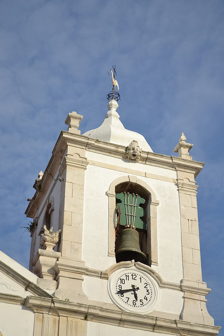
Photo: Celiaak, CC BY-SA 3.0.
Igreja Matriz do Juncal is a church, which is situated 3 km north of Igreja Cumeira de Baixo.
Places in the Area
Nearby places include Juncal and Pedreiras.
Juncal
Town

Photo: Celiaak, CC BY-SA 3.0.
Juncal is a civil parish in the municipality of Porto de Mós, Portugal, with an area of 26,64 km² and population of 3,197. Juncal is situated 3 km north of Igreja Cumeira de Baixo.
Pedreiras
Village

Photo: Threeohsix, CC BY-SA 4.0.
Pedreiras is a civil parish in the municipality of Porto de Mós, Portugal. The population in 2021 was 2,548, in an area of 11.28 km2. It was created on 19 December, 1924 by law No.1:702. Pedreiras is situated 4½ km east of Igreja Cumeira de Baixo.
Serro Ventoso
Village
Serro Ventoso is a civil parish in the municipality of Porto de Mós, Portugal. The population in 2021 was 892, in an area of 34.16 km2. It was created in 1933. Serro Ventoso is situated 7 km east of Igreja Cumeira de Baixo.
Igreja Cumeira de Baixo
- Type: Church
- Categories: place of worship and religion
- Location: Aljubarrota, Alcobaça, Leiria District, Portugal, Iberia, Europe
- View on OpenStreetMap
Latitude
39.5782° or 39° 34′ 42″ northLongitude
-8.91273° or 8° 54′ 46″ westOpen location code
8CFHH3HP+7WOpenStreetMap ID
node 5606754423OpenStreetMap feature
amenity=place_of_worship
This page is based on OpenStreetMap, Wikidata, and Wikimedia Commons.
We’d love your help improving our open data sources. Thank you for contributing.
Satellite Map
Discover Igreja Cumeira de Baixo from above in high-definition satellite imagery.
Notable Places Nearby
Highlights include Capela de Nossa Senhora do Amparo and Capela de Nossa Senhora das Areias.
Nearby Places
Explore places such as Café Europa and Tomás Vieira.
Portugal: Must-Visit Destinations
Delve into Lisbon, Caldas da Rainha, Porto, and Coimbra.
Curious Churches to Discover
Uncover intriguing churches from every corner of the globe.
About Mapcarta. Data © OpenStreetMap contributors and available under the Open Database License". Text is available under the CC BY-SA 4.0 license, except for photos, directions, and the map. Photo: Luca Boldrini, CC BY 2.0.