Stupa
Stupa is a Buddhist temple in Wiesbaden, South Hesse, Hesse. Stupa is situated nearby to the peak Würzburg, as well as near the castle Jagdschloss Platte.| Tap on a place to explore it |
Places of Interest Nearby
Highlights include Jagdschloss Platte and Nerobergbahn.
Jagdschloss Platte
Castle
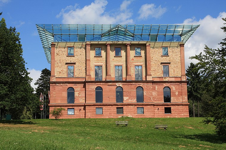
Photo: Wo st 01, CC BY-SA 3.0 de.
Jagdschloss Platte is a castle, which is situated 1 km north of Stupa.
Nerobergbahn
Railway station

Photo: Wikimedia, CC BY-SA 3.0 de.
The Nerobergbahn is a funicular railway in Wiesbaden, Germany. The line links the city, with a station at the north of the Nerotalanlagen, with the Neroberg hill to its north, which offers a panorama view. Nerobergbahn is situated 3½ km south of Stupa.
Leichtweißhöhle
Cave

Photo: SBT, CC BY-SA 3.0.
Leichtweißhöhle is a cave, which is situated 2½ km south of Stupa.
Places in the Area
Nearby places include Neroberg and Rambach.
Neroberg
Locality

Photo: Wolfgang Pehlemann, CC BY-SA 3.0 de.
Neroberg is a hill in Wiesbaden in Hesse, Germany. It offers a panoramic view of the city and is therefore a tourist destination, reached by the historic Nerobergbahn, a funicular railway from the Nerotalanlagen. Neroberg is situated 3 km south of Stupa.
Rambach
Village
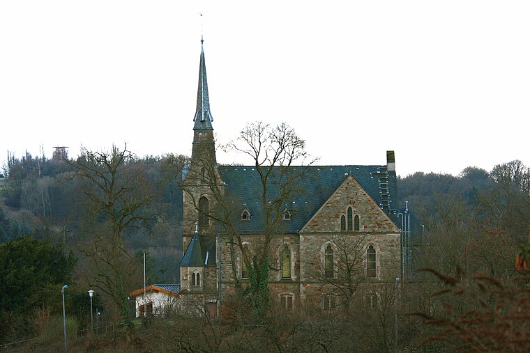
Photo: Wo st 01, CC BY-SA 3.0 de.
Rambach is a village, which is situated 4 km east of Stupa.
Wiesbaden-Sonnenberg
Suburb

Photo: SBT, CC BY-SA 3.0 de.
Sonnenberg is a borough of Wiesbaden, the capital of the state of Hesse, Germany. Formerly an independent municipality, Sonnenberg was incorporated into Wiesbaden on 28 October 1926. Wiesbaden-Sonnenberg is situated 4 km southeast of Stupa.
Stupa
- Type: Buddhist temple
- Categories: place of worship and religion
- Location: Wiesbaden, South Hesse, Hesse, Germany, Central Europe, Europe
- View on OpenStreetMap
Latitude
50.1272° or 50° 7′ 38″ northLongitude
8.22309° or 8° 13′ 23″ eastOpen location code
9F2C46GF+V6OpenStreetMap ID
node 5611736075OpenStreetMap feature
amenity=place_of_worshipOpenStreetMap feature
man_made=cairn
This page is based on OpenStreetMap, Wikidata, and Wikimedia Commons.
We’d love your help improving our open data sources. Thank you for contributing.
Satellite Map
Discover Stupa from above in high-definition satellite imagery.
Places with the Same Name
Discover other places named “Stupa”.
Notable Places Nearby
Highlights include Würzburg and Amtmannborn.
Nearby Places
Explore places such as WIN-25 and WIN-51.
South Hesse: Must-Visit Destinations
Delve into Darmstadt, Bensheim, Lorsch, and Heppenheim.
Curious Buddhist Temples to Discover
Uncover intriguing Buddhist temples from every corner of the globe.
About Mapcarta. Data © OpenStreetMap contributors and available under the Open Database License". Text is available under the CC BY-SA 4.0 license, except for photos, directions, and the map. Photo: Pedelecs, CC BY-SA 3.0.