Gasthof Kaiser von Österreich
Gasthof Kaiser von Österreich is a restaurant in Hermagor-Pressegger See, Hermagor District, Carinthia. Gasthof Kaiser von Österreich is situated nearby to the church Pfarrkirche Hermagor, as well as near the building Pfarrhof.| Tap on a place to explore it |
Places of Interest Nearby
Highlights include Pfarrkirche Hermagor and Schneerosenkirche Hermagor.
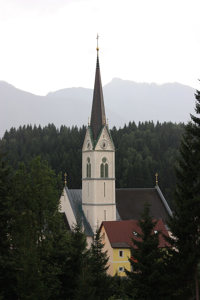
Schneerosenkirche Hermagor
Church

Photo: Johann Jaritz, CC BY-SA 3.0 at.
Schneerosenkirche Hermagor is a church, which is situated 290 metres northeast of Gasthof Kaiser von Österreich.
Pfarrhof
Building

Photo: Johann Jaritz, CC BY-SA 3.0.
Pfarrhof is a building, which is situated 100 metres northeast of Gasthof Kaiser von Österreich.
Places in the Area
Nearby places include Hermagor and Watschig.

Watschig
Village

Photo: Johann Jaritz, CC BY-SA 4.0.
Watschig is a village, which is situated 5 km west of Gasthof Kaiser von Österreich.
Tröpolach
Village

Photo: Pnapora, CC BY-SA 4.0.
Tröpolach is a village, which is situated 7 km west of Gasthof Kaiser von Österreich.
Gasthof Kaiser von Österreich
- Type: Restaurant
- Category: food
- Location: Hermagor-Pressegger See, Hermagor District, Carinthia, Austria, Central Europe, Europe
- View on OpenStreetMap
Latitude
46.62726° or 46° 37′ 38″ northLongitude
13.36824° or 13° 22′ 6″ eastOpen location code
8FRMJ9G9+W7OpenStreetMap ID
node 5646198507OpenStreetMap feature
amenity=restaurant
This page is based on OpenStreetMap, Wikidata, and Wikimedia Commons.
We’d love your help improving our open data sources. Thank you for contributing.
Satellite Map
Discover Gasthof Kaiser von Österreich from above in high-definition satellite imagery.
Notable Places Nearby
Highlights include Bezirksgericht Hermagor and Gemeinde Hermagor.
Nearby Places
Explore places such as Der kleine Bär and Bärenwirt.
Carinthia: Must-Visit Destinations
Delve into Klagenfurt, Villach, Wörthersee, and Spittal an der Drau.
Curious Restaurants to Discover
Uncover intriguing restaurants from every corner of the globe.
About Mapcarta. Data © OpenStreetMap contributors and available under the Open Database License". Text is available under the CC BY-SA 4.0 license, except for photos, directions, and the map. Photo: Wikimedia, CC BY-SA 3.0.