Font Sulfurosa
Font Sulfurosa is a spring in Porqueres, Girona, Catalonia. Font Sulfurosa is situated nearby to Church of Santa Maria de Porqueres, as well as near the spring Font del Rector.| Tap on a place to explore it |
Places of Interest Nearby
Highlights include Church of Santa Maria de Porqueres and Estanyol Nou.

Estanyol Nou
Lagoon

Photo: Jordi G, CC BY-SA 3.0.
Estanyol Nou is a lagoon, which is situated 750 metres northeast of Font Sulfurosa.
Estanyol de la Cendra
Lagoon
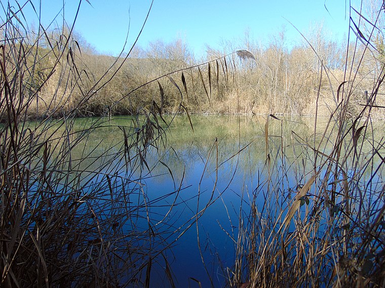
Photo: Jvinolase, CC BY-SA 4.0.
Estanyol de la Cendra is a lagoon, which is situated 1 km south of Font Sulfurosa.
Places in the Area
Nearby places include Banyoles and Puigpalter de Dalt.
Banyoles
Banyoles is in Girona is the capital of watersports thanks to its stunning natural lake, the largest in Catalonia, and its rich historical heritage. The town boasts medieval charm with landmarks such as the Gothic-style Church of Santa Maria dels Turers and the Monastery of Sant Esteve.Puigpalter de Dalt
Hamlet

Photo: Jvinolase, CC BY-SA 4.0.
Puigpalter de Dalt is a hamlet, which is situated 3½ km east of Font Sulfurosa.
Camós
Village

Photo: Marcgrabulosa, CC BY-SA 4.0.
Camós is a village in the province of Girona and autonomous community of Catalonia, Spain. The municipality covers an area of 15.7 square kilometres and the population in 2014 was 686. Camós is situated 3½ km southeast of Font Sulfurosa.
Font Sulfurosa
- Type: Spring
- Category: body of water
- Location: Porqueres, Girona, Catalonia, Eastern Spain, Spain, Iberia, Europe
- View on OpenStreetMap
Latitude
42.12137° or 42° 7′ 17″ northLongitude
2.74921° or 2° 44′ 57″ eastOpen location code
8FJ44PCX+GMOpenStreetMap ID
node 5661800856OpenStreetMap feature
natural=spring
This page is based on OpenStreetMap, Wikidata, and Wikimedia Commons.
We’d love your help improving our open data sources. Thank you for contributing.
Satellite Map
Discover Font Sulfurosa from above in high-definition satellite imagery.
In Other Languages
“Font Sulfurosa” goes by many names.
- Catalan: “Font Sulfurosa”
Notable Places Nearby
Highlights include Font del Rector and Estanyol.
Nearby Places
Explore places such as Rectoria and Mas dels Tenyers.
Girona: Must-Visit Destinations
Delve into Girona, Figueres, Llivia, and Lloret de Mar.
Curious Springs to Discover
Uncover intriguing springs from every corner of the globe.
About Mapcarta. Data © OpenStreetMap contributors and available under the Open Database License". Text is available under the CC BY-SA 4.0 license, except for photos, directions, and the map. Photo: Wikimedia, CC0.