Doubravka XIV.
Doubravka XIV. is a tower in Praha 14, Prague 14, Prague, Central Bohemia. Doubravka XIV. is situated nearby to the peak Horka, as well as near Čihadla.| Tap on a place to explore it |
Photo: Frettie, CC BY-SA 4.0.
Places of Interest Nearby
Highlights include Horka and Čihadla.


Prague 14
Town hall
 Prague 14 is a municipal district in Prague since 1994. It is located in the north-eastern part of the city, east of district Prague 9. It consists of four cadastres: Hloubětín, Kyje, Černý Most and Hostavice. Prague 14 is situated 1 km north of Doubravka XIV..
Places in the Area
Nearby places include Jahodnice and Černý Most.

Černý Most
Suburb
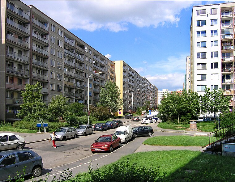
Photo: Packa, CC BY-SA 3.0.
Černý Most is a large panel housing estate in the north-east of Prague, belonging to Prague 14. At the end of 2013 it was home to 22,355 residents. As well as residential complexes, the area has a large retail park with the same name.

Doubravka XIV.
- Type: Tower
- Also known as: “Doubravka 14”
- Category: observation tower
- Location: Praha 14, Prague 14, Prague, Central Bohemia, Czech Republic, Central Europe, Europe
- View on OpenStreetMap
Latitude
50.09725° or 50° 5′ 50″ northLongitude
14.55732° or 14° 33′ 26″ eastInception
June 15th, 2018Height
24 metres (77 feet)Open location code
9F2P3HW4+WWOpenStreetMap ID
node 5666025419OpenStreetMap feature
aeroway=windsockOpenStreetMap feature
man_made=towerWikidata ID
Q55372170
This page is based on OpenStreetMap, Wikidata, and Wikimedia Commons.
We’d love your help improving our open data sources. Thank you for contributing.
Satellite Map
Discover Doubravka XIV. from above in high-definition satellite imagery.
In Other Languages
“Doubravka XIV.” goes by many names.
- Czech: “Doubravka XIV.”
Notable Places Nearby
Highlights include poliklinika Vajgarská and Myší pramínek.
Nearby Places
Explore places such as Rozhledna Doubravka XIV. and Příběh spletité Doubravky.
Prague: Must-Visit Destinations
Delve into Václav Havel Airport Prague, Old Town and Josefov, East bank of Vltava, and New Town and Vysehrad.
Curious Towers to Discover
Uncover intriguing towers from every corner of the globe.
About Mapcarta. Data © OpenStreetMap contributors and available under the Open Database License". Text is available under the CC BY-SA 4.0 license, except for photos, directions, and the map. Photo: Frettie, CC BY-SA 4.0.