Deutes
Deutes is a peak in Hummeltal, Bayreuth, Bavaria and has an elevation of 502 metres. Deutes is situated nearby to the hamlet Laimen, as well as near the neighborhood Bärnügel.| Tap on a place to explore it |
Places of Interest
Highlights include St. Bartholomew and St. Bartholomäus (Mistelgau).

St. Bartholomäus (Mistelgau)
Church

Photo: Benreis, CC BY-SA 3.0.
St. Bartholomäus (Mistelgau) is a church.
St. Bartholomew (Mistelbach)
Church

Photo: Bayreuth2009, CC0.
St. Bartholomew (Mistelbach) is a church.
Places in the Area
Nearby places include Mistelgau and Glashütten.
Mistelgau
Village

Photo: Wikimedia, CC BY-SA 4.0.
Mistelgau is a municipality in the district of Bayreuth in Bavaria in Germany. The eponymous village is the seat of both the municipality as well as the municipality association Mistelgau.
Glashütten
Village

Photo: PeterBraun74, CC BY-SA 3.0.
Glashütten is a municipality in the district of Bayreuth in Bavaria in Germany.
Mistelbach
Village
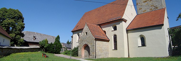
Photo: Bayreuth2009, CC BY 3.0.
Mistelbach is a municipality in the district of Bayreuth in Upper Franconia in Bavaria, Germany.
Deutes
- Type: Peak with an elevation of 502 metres
- Category: landform
- Location: Hummeltal, Bayreuth, Upper Franconia, Franconia, Bavaria, Germany, Central Europe, Europe
- View on OpenStreetMap
Latitude
49.8841° or 49° 53′ 3″ northLongitude
11.4878° or 11° 29′ 16″ eastElevation
502 metres (1,647 feet)Open location code
8FXHVFMQ+J4OpenStreetMap ID
node 568459845OpenStreetMap feature
natural=peak
This page is based on OpenStreetMap, Wikidata, and Wikimedia Commons.
We’d love your help improving our open data sources. Thank you for contributing.
Satellite Map
Discover Deutes from above in high-definition satellite imagery.
Localities in the Area
Explore places such as Laimen and Bärnügel.
Notable Places Nearby
Highlights include Moosing and Wasserwerk Hummeltal.
Upper Franconia: Must-Visit Destinations
Delve into Bamberg, Bayreuth, Coburg, and Hof.
Curious Peaks to Discover
Uncover intriguing peaks from every corner of the globe.
About Mapcarta. Data © OpenStreetMap contributors and available under the Open Database License". Text is available under the CC BY-SA 4.0 license, except for photos, directions, and the map. Photo: Wikimedia, CC0.