(apo)THEKE - Safer Nightlife
(apo)THEKE - Safer Nightlife is a social service facility in Dresden, Saxon Elbland, Saxony which is located on Rothenburger Straße. (apo)THEKE - Safer Nightlife is situated nearby to the government office Leitstelle für Informationstechnologie der sächsischen Justiz, as well as near the office building Grützner-Villa.| Tap on a place to explore it |
- Opening hours: Wednesday 4:00 PM—6:00 PM
- Email: soja.suchtpraevention@diakonie-dresden.de
- Type: Social service facility
- Address: Rothenburger Straße 9, Dresden, 01099
Places of Interest Nearby
Highlights include Kulturzentrum Scheune and Staatsschauspiel Dresden Kleines Haus.
Kulturzentrum Scheune
Theater building

Photo: Kolossos, CC BY-SA 3.0.
Kulturzentrum Scheune is a theater building, which is situated 260 metres north of (apo)THEKE - Safer Nightlife.
Staatsschauspiel Dresden Kleines Haus
Theater building
 Staatsschauspiel Dresden Kleines Haus is a theater building, which is situated 270 metres south of (apo)THEKE - Safer Nightlife.
Pferdetränkbrunnen
Fountain

Photo: Billyhill, CC BY-SA 3.0.
Pferdetränkbrunnen is a fountain, which is situated 260 metres southeast of (apo)THEKE - Safer Nightlife.
Places in the Area
Nearby places include Äußere Neustadt and Innere Neustadt.
Äußere Neustadt
Suburb
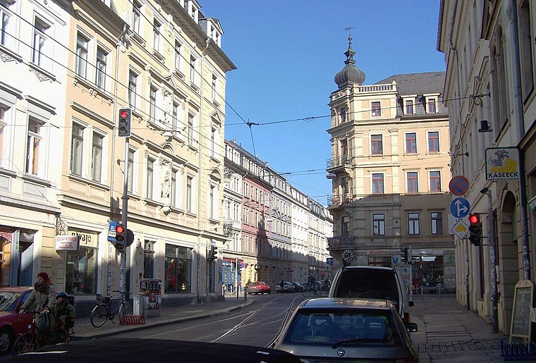
Photo: X-Weinzar, CC BY-SA 2.5.
Äußere Neustadt, also known as Antonstadt after Anthony, King of Saxony, is a neighborhood in Dresden, Germany. The Äußere Neustadt contains the part of the Neustadt that is located outside of where the old city walls used to be.
Innere Neustadt
Suburb

Photo: Wikimedia, CC BY-SA 4.0.
The Innere Neustadt is a neighborhood in Dresden within the administrative district of Neustadt. The name is derived from "Neue Königliche Stadt", the name given to the former district of Altendresden when it was rebuilt after a fire before 1732.

(apo)THEKE - Safer Nightlife
- Location: Dresden, Saxon Elbland, Saxony, Germany, Central Europe, Europe
- View on OpenStreetMap
Latitude
51.06391° or 51° 3′ 50″ northLongitude
13.75218° or 13° 45′ 8″ eastBrand
Diakonisches WerkOperator
DiakonieOpen location code
9F3M3Q72+HVOpenStreetMap ID
node 5686048880OpenStreetMap feature
amenity=social_facility
This page is based on OpenStreetMap, Wikidata, and Wikimedia Commons.
We’d love your help improving our open data sources. Thank you for contributing.
Satellite Map
Discover (apo)THEKE - Safer Nightlife from above in high-definition satellite imagery.
Notable Places Nearby
Highlights include Leitstelle für Informationstechnologie der sächsischen Justiz and Grützner-Villa.
Nearby Places
Explore places such as Dr. Jürgen Prochnow and Eyecatcher.
Saxon Elbland: Must-Visit Destinations
Delve into Meißen, Riesa, Radebeul, and Freital.
Curious Social Service Facilities to Discover
Uncover intriguing social service facilities from every corner of the globe.
About Mapcarta. Data © OpenStreetMap contributors and available under the Open Database License". Text is available under the CC BY-SA 4.0 license, except for photos, directions, and the map. Photo: Kreidefossil, CC BY-SA 3.0.