Koch Wetterstation
Koch Wetterstation is a monitoring station in Männedorf, Meilen District, Canton of Zurich. Koch Wetterstation is situated nearby to the park Schifflände, as well as near the marina Dorf-Haab.| Tap on a place to explore it |
Places of Interest Nearby
Highlights include Männedorf railway station and Spital Männedorf.
Männedorf railway station
Railway station
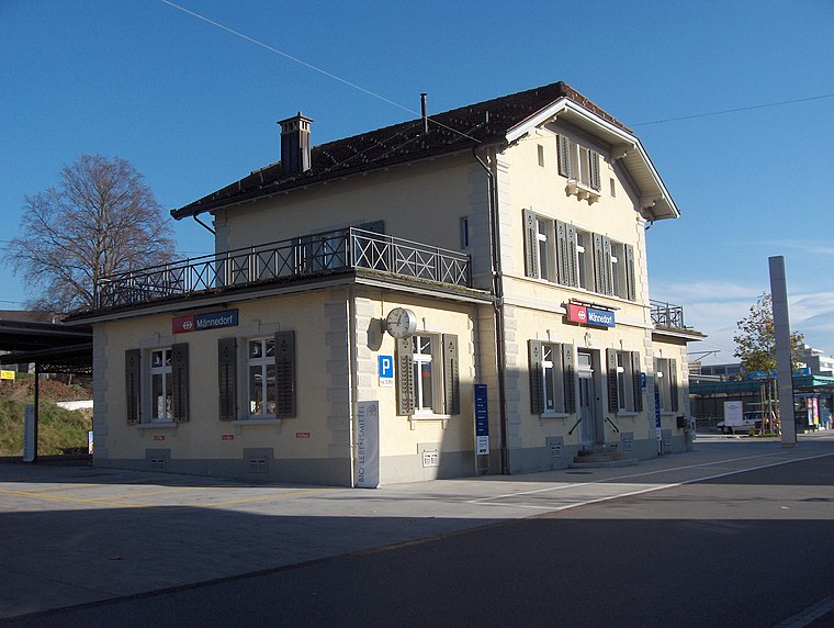
Photo: Blademaster88, CC BY-SA 3.0.
Männedorf is a railway station in the Swiss canton of Zurich, situated in the municipality of Männedorf on the eastern shore of Lake Zurich. The station is located on the Lake Zurich right bank railway line, within fare zone 142 of the Zürcher Verkehrsverbund. Männedorf railway station is situated 280 metres east of Koch Wetterstation.
Spital Männedorf
Hospital

Photo: Roland zh, CC BY-SA 3.0.
Spital Männedorf is a hospital, which is situated 560 metres east of Koch Wetterstation.
Zieglerhof
Building

Photo: Paebi, CC BY-SA 3.0.
Zieglerhof is a building, which is situated 290 metres east of Koch Wetterstation.
Places in the Area
Nearby places include Mutzmalen and Uetikon am See.
Mutzmalen
Hamlet
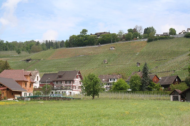
Photo: Parpan05, CC BY-SA 3.0.
Mutzmalen is a small village between Stäfa and Männedorf, in the canton of Zürich in Switzerland.
Uetikon am See
Village

Photo: Iotatau, CC BY-SA 3.0.
Uetikon am See is a municipality in the district of Meilen in the canton of Zürich in Switzerland.
Wädenswil
Town

Photo: Voyager, CC BY-SA 3.0.
Wädenswil is a municipality located in the district of Horgen in the canton of Zürich in Switzerland. The population, as of 2013, was about 21,000. On 1 January 2019 the former municipalities of Hütten and Schönenberg were merged into the municipality of Wädenswil. Wädenswil is situated 3 km southwest of Koch Wetterstation.
Koch Wetterstation
- Type: Monitoring station
- Location: Männedorf, Meilen District, Canton of Zurich, Switzerland, Central Europe, Europe
- View on OpenStreetMap
Latitude
47.25279° or 47° 15′ 10″ northLongitude
8.68915° or 8° 41′ 21″ eastOpen location code
8FVC7M3Q+4MOpenStreetMap ID
node 5696114018OpenStreetMap feature
man_made=monitoring_station
This page is based on OpenStreetMap, Wikidata, and Wikimedia Commons.
We’d love your help improving our open data sources. Thank you for contributing.
Satellite Map
Discover Koch Wetterstation from above in high-definition satellite imagery.
Notable Places Nearby
Highlights include Schifflände and Dorf-Haab.
Nearby Places
Explore places such as Männedorf Schiff and Schiffstation.
Switzerland: Must-Visit Destinations
Delve into Zurich, Berne, Geneva, and Basel.
Curious Monitoring Stations to Discover
Uncover intriguing monitoring stations from every corner of the globe.
About Mapcarta. Data © OpenStreetMap contributors and available under the Open Database License". Text is available under the CC BY-SA 4.0 license, except for photos, directions, and the map. Photo: Roland zh, CC BY-SA 3.0.