Urbanización Los Cocoteros
Urbanización Los Cocoteros is a neighborhood in Marcano Municipality, Nueva Esparta, Caribbean Islands and has about 200 residents. Urbanización Los Cocoteros is situated nearby to the suburb El Tamarindo, as well as near Los Millanes.| Tap on a place to explore it |
Places in the Area
Nearby places include Juan Griego and Santa Ana.
Juan Griego
 Juan Griego is a town of 20,000 people on Margarita Island in Venezuela. The main activity of the town is tourism, where historical and cultural value play an important role.
Santa Ana
Town
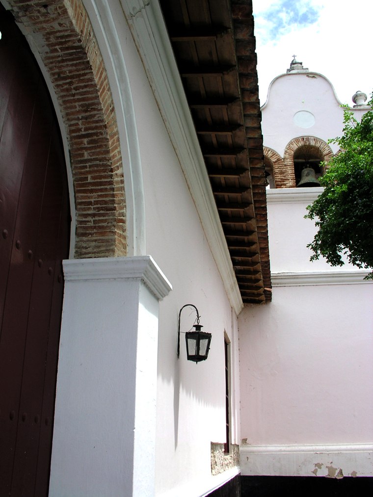 Santa Ana is a town on Isla Margarita, in the state of Nueva Esparta, Venezuela. It is the capital of the Gómez municipality. The town is located in the south of the municipality, in the northeast of Margarita. Santa Ana is situated 3 km east of Urbanización Los Cocoteros.
Pedro Gonzalez
Playa Pedro Gonzalez is a beach on Margarita Island in Venezuela.Urbanización Los Cocoteros
- Type: Neighborhood with 200 residents
- Category: locality
- Location: Marcano Municipality, Nueva Esparta, Caribbean Islands, Venezuela, South America
- View on OpenStreetMap
Latitude
11.06749° or 11° 4′ 3″ northLongitude
-63.95288° or 63° 57′ 10″ westPopulation
200Open location code
773R328W+XROpenStreetMap ID
node 5714474769OpenStreetMap feature
place=neighbourhood
This page is based on OpenStreetMap, Wikidata, and Wikimedia Commons.
We’d love your help improving our open data sources. Thank you for contributing.
Satellite Map
Discover Urbanización Los Cocoteros from above in high-definition satellite imagery.
Localities in the Area
Explore places such as El Tamarindo and Los Millanes.
Notable Places Nearby
Highlights include Estadio de Los Millanes and cancha techada prolongacion san jose.
Nueva Esparta: Must-Visit Destinations
Delve into Porlamar, Playa El Yaque, Juan Griego, and Margarita Island.
Curious Neighborhoods to Discover
Uncover intriguing neighborhoods from every corner of the globe.
About Mapcarta. Data © OpenStreetMap contributors and available under the Open Database License". Text is available under the CC BY-SA 4.0 license, except for photos, directions, and the map. Photo: Wikimedia, CC0.