Les Haules
Les Haules is a hamlet in Juignettes, Arrondissement of Bernay, Normandy. Les Haules is situated nearby to the hamlet La Briqueterie, as well as near La Roche.| Tap on a place to explore it |
Places of Interest
Highlights include Église Saint-Jean-Baptiste des Bottereaux and Église Saint-Pierre de la Selle.
Église Saint-Jean-Baptiste des Bottereaux
Church

Photo: Nortmannus, CC BY-SA 3.0.
Église Saint-Jean-Baptiste des Bottereaux is a church.
Église Saint-Pierre de la Selle
Church
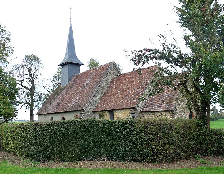
Photo: Paubry76, CC BY-SA 4.0.
Église Saint-Pierre de la Selle is a church, which is situated 3 km west of Les Haules.
Pierre de Gargantua
Archaeological site

Photo: Loguer, CC BY-SA 3.0.
Pierre de Gargantua is an archaeological site, which is situated 4 km east of Les Haules.
Places in the Area
Nearby places include Glos-la-Ferrière and Chambord.
Glos-la-Ferrière
Village

Photo: Nortmannus, CC BY-SA 3.0.
Glos-la-Ferrière is a former commune in the Orne department in north-western France. On 1 January 2016, it was merged into the new commune of La Ferté-en-Ouche. Glos-la-Ferrière is situated 6 km west of Les Haules.
Chambord
Village

Photo: Ikmo-ned, CC BY-SA 4.0.
Chambord is a commune in the Eure department in northern France. Chambord is situated 6 km northwest of Les Haules.
La Haye-Saint-Sylvestre
Village

Photo: Ikmo-ned, CC BY-SA 4.0.
La Haye-Saint-Sylvestre is a commune in the Eure department in northern France. La Haye-Saint-Sylvestre is situated 7 km northwest of Les Haules.
Les Haules
- Type: Hamlet
- Category: locality
- Location: Juignettes, Arrondissement of Bernay, Eure, Normandy, France, Europe
- View on OpenStreetMap
Latitude
48.86102° or 48° 51′ 40″ northLongitude
0.67841° or 0° 40′ 42″ eastOpen location code
8FW2VM6H+C9OpenStreetMap ID
node 5742244327OpenStreetMap feature
place=hamlet
This page is based on OpenStreetMap, Wikidata, and Wikimedia Commons.
We’d love your help improving our open data sources. Thank you for contributing.
Satellite Map
Discover Les Haules from above in high-definition satellite imagery.
Localities in the Area
Explore places such as La Briqueterie and La Roche.
Notable Places Nearby
Highlights include Église Saint-Maurice de Juignettes and Église Saint-Antonin de Saint-Antonin-de-Sommaire.
Normandy: Must-Visit Destinations
Delve into Orne, Rouen, Seine-Maritime, and Le Havre.
Curious Hamlets to Discover
Uncover intriguing hamlets from every corner of the globe.
About Mapcarta. Data © OpenStreetMap contributors and available under the Open Database License". Text is available under the CC BY-SA 4.0 license, except for photos, directions, and the map. Photo: Inkey, CC BY-SA 3.0.