Bridget Dineen
Bridget Dineen is a dental clinic in County Cork, Munster which is located on Tramway Terrace. Bridget Dineen is situated nearby to the community center St. Columba’s Hall, as well as near the suburb Douglas.| Tap on a place to explore it |
Places of Interest Nearby
Highlights include St Luke’s Church, Douglas and St Columba’s Church.
St Luke’s Church, Douglas
Church

Photo: Michael O’Sheil, CC BY-SA 4.0.
St Luke's Church is a Church of Ireland church in Douglas in Cork, Ireland. Built c. 1875 on the site of an earlier 18th century church, it is dedicated to Luke the Evangelist. St Luke’s Church, Douglas is situated 260 metres southwest of Bridget Dineen.
St Columba’s Church
Church

Photo: Michael O’Sheil, CC BY-SA 4.0.
St Columba’s Church is situated 290 metres south of Bridget Dineen.
Douglas Community School
School
Douglas Community School, also known as Douglas Com or DCS, is an all boy's community school in Douglas, Cork, Ireland. It was founded as Coláiste Muire by the Presentation Brothers in 1926 as a juniorate. Douglas Community School is situated 480 metres northwest of Bridget Dineen.
Places in the Area
Nearby places include Douglas and Ballinlough.
Douglas
Suburb
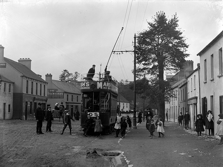
Photo: National Library of Ireland on The Commons, No restrictions.
Cork is the principal city of County Cork in southwest Ireland. Known as "the Rebel City" the "real capital of Ireland", Cork has a strong independence and Corkonians are proud of its role in Irish history.
Ballinlough
Suburb
Ballinlough is a mainly residential townland and suburb on the southside of Cork city, in Ireland. It is located between Ballintemple and the larger suburbs of Douglas and Blackrock.
Ballintemple
Suburb
Photo: Cdbrock, CC BY-SA 3.0.
Ballintemple is a suburb of Cork city, Ireland. The village is situated on the east side of the city with its limits extending to the River Lee and the village of Blackrock further to the east.
Bridget Dineen
- Type: Dental clinic
- Address: 10 Tramway Terrace, Douglas
- Category: health care
- Location: County Cork, Munster, Southwest Ireland, Ireland, Britain and Ireland, Europe
- View on OpenStreetMap
Latitude
51.87651° or 51° 52′ 35″ northLongitude
-8.43466° or 8° 26′ 5″ westOpen location code
9C3HVHG8+J4OpenStreetMap ID
node 5777180524OpenStreetMap feature
amenity=dentistOpenStreetMap feature
healthcare=dentist
This page is based on OpenStreetMap, Wikidata, and Wikimedia Commons.
We’d love your help improving our open data sources. Thank you for contributing.
Satellite Map
Discover Bridget Dineen from above in high-definition satellite imagery.
Notable Places Nearby
Highlights include St. Columba’s Hall and BikeRowSki.
Nearby Places
Explore places such as Tramway Locks & Lighting and Terry & Co. Hairdressing Studio.
County Cork: Must-Visit Destinations
Delve into Cork, Cobh, Kinsale, and Mallow.
Curious Dental Clinics to Discover
Uncover intriguing dental clinics from every corner of the globe.
About Mapcarta. Data © OpenStreetMap contributors and available under the Open Database License". Text is available under the CC BY-SA 4.0 license, except for photos, directions, and the map. Photo: Wikimedia, CC BY-SA 3.0.