Chörnlisberg
Chörnlisberg is in Gebenstorf, Baden District, Canton of Aargau. Chörnlisberg is situated nearby to the scenic viewpoint Anzflue, as well as near the power station KVA Turgi.| Tap on a place to explore it |
Places of Interest Nearby
Highlights include Turgi railway station and Reformed Church.
Turgi railway station
Railway station
 Turgi railway station is a railway station in the municipality of Turgi in the Swiss canton of Aargau. The station is located on the Zurich to Olten main line, and is the junction for the Turgi–Koblenz–Waldshut line. Turgi railway station is situated 1½ km northwest of Chörnlisberg.
Reformed Church
Church

Photo: Schlarpi, CC BY-SA 4.0.
Reformed Church is situated 1½ km west of Chörnlisberg.
Reformed parish church and rectory
Church

Photo: Badener, CC BY-SA 3.0.
Reformed parish church and rectory is situated 1½ km north of Chörnlisberg.
Places in the Area
Nearby places include Turgi and Nussbaumen.
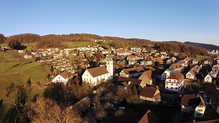
Turgi
Village

Photo: Roland zh, CC BY-SA 3.0.
Turgi is a former municipality in the district of Baden in the canton of Aargau in Switzerland, located in the Limmat Valley. It merged with Baden on 1 January 2024. In 2002, Turgi received the Wakker Prize for the preservation of its architectural heritage.

Chörnlisberg
- Type: Sign
- Categories: information and tourism
- Location: Gebenstorf, Baden District, Canton of Aargau, Switzerland, Central Europe, Europe
- View on OpenStreetMap
Latitude
47.47917° or 47° 28′ 45″ northLongitude
8.26213° or 8° 15′ 44″ eastElevation
553 metres (1,814 feet)Open location code
8FVCF7H6+MVOpenStreetMap ID
node 5777292290OpenStreetMap feature
tourism=information
This page is based on OpenStreetMap, Wikidata, and Wikimedia Commons.
We’d love your help improving our open data sources. Thank you for contributing.
Satellite Map
Discover Chörnlisberg from above in high-definition satellite imagery.
Notable Places Nearby
Highlights include Anzflue and KVA Turgi.
Nearby Places
Explore places such as Bunker and Turgi, Sitten.
Switzerland: Must-Visit Destinations
Delve into Zurich, Berne, Geneva, and Basel.
Curious Places to Discover
Uncover intriguing places from every corner of the globe.
About Mapcarta. Data © OpenStreetMap contributors and available under the Open Database License". Text is available under the CC BY-SA 4.0 license, except for photos, directions, and the map. Photo: Simonizer, CC BY-SA 2.0 de.