Østre Dragshøj
Østre Dragshøj is an archaeological site in Syddjurs Municipality, Central Jutland. Østre Dragshøj is situated nearby to the archaeological site Vestre Dragishøj, as well as near the grassland Przewalski horse.| Tap on a place to explore it |
Places of Interest Nearby
Highlights include Skandinavisk Dyrepark and Nødager Church.
Skandinavisk Dyrepark
Zoo
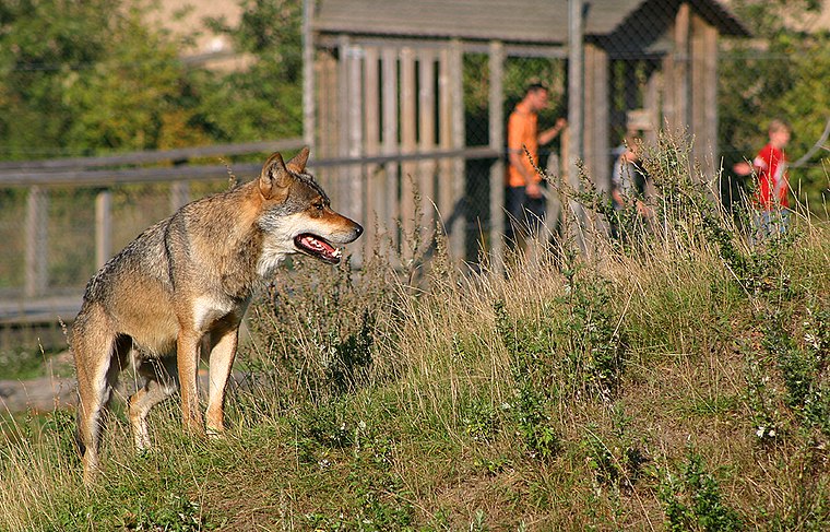
Photo: Malene, CC BY-SA 3.0.
Skandinavisk Dyrepark is a Danish zoo in Djursland, located in Syddjurs Municipality in Denmark. Opened for public in 1994, by the name Hjortenes verden, later changed to Skandinavisk Dyrepark. Skandinavisk Dyrepark is situated 650 metres northeast of Østre Dragshøj.
Nødager Church
Church

Photo: Wikimedia, CC BY-SA 3.0.
Nødager Church is situated 1¼ km west of Østre Dragshøj.
Albøge Church
Church

Photo: Bococo, CC BY-SA 3.0.
Albøge Church is situated 4 km northeast of Østre Dragshøj.
Places in the Area
Nearby places include Kolind and Tirstrup.
Kolind
Village
Kolind is a railway town, with a population of 1,913, in Syddjurs Municipality, Central Denmark Region in Denmark. Kolind was the municipal seat of the former Midtdjurs Municipality until 1 January 2007. Kolind is situated 4½ km northwest of Østre Dragshøj.
Tirstrup
Village

Photo: Old Dane, CC BY-SA 4.0.
Tirstrup is a town in East Jutland, Denmark. As of 1 January 2025, the town has a population of 414. Tirstrup is located 44 kilometers from Aarhus and 18 kilometers from Grenaa. Tirstrup is situated 5 km southeast of Østre Dragshøj.
Lyngby
Hamlet

Photo: Bococo, CC BY-SA 3.0.
Lyngby is a small village with a population of 300, located in Norddjurs Municipality, Central Denmark Region in Denmark. Lyngby Church is situated within the village. Lyngby is situated 6 km northeast of Østre Dragshøj.
Østre Dragshøj
- Type: Archaeological site
- Categories: historic site, tourist attraction, and tourism
- Location: Syddjurs Municipality, Central Jutland, Denmark, Nordic countries, Europe
- View on OpenStreetMap
Latitude
56.34269° or 56° 20′ 34″ northLongitude
10.65155° or 10° 39′ 6″ eastOpen location code
9F8G8MV2+3JOpenStreetMap ID
node 5784796185OpenStreetMap feature
historic=archaeological_site
This page is based on OpenStreetMap, Wikidata, and Wikimedia Commons.
We’d love your help improving our open data sources. Thank you for contributing.
Satellite Map
Discover Østre Dragshøj from above in high-definition satellite imagery.
Notable Places Nearby
Highlights include Vestre Dragishøj and Przewalski horse.
Nearby Places
Explore places such as Skandinavisk Dyrepark Entreen and Møllegården.
Denmark: Must-Visit Destinations
Delve into Copenhagen, Aarhus, Odense, and Aalborg.
Curious Archaeological Sites to Discover
Uncover intriguing archaeological sites from every corner of the globe.
About Mapcarta. Data © OpenStreetMap contributors and available under the Open Database License". Text is available under the CC BY-SA 4.0 license, except for photos, directions, and the map. Photo: Wikimedia, CC BY-SA 3.0.