Südheide Wandertour 8
Südheide Wandertour 8 is in Lower Saxony, Germany. Südheide Wandertour 8 is situated nearby to the nature reserve Lünsholz, as well as near the village Unterlüß.| Tap on a place to explore it |
Places of Interest Nearby
Highlights include Lünsholz and Albert-König-Museum.

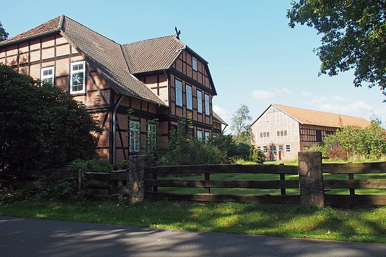
Albert-König-Museum
Museum

Photo: Hajotthu, CC BY-SA 3.0.
Albert-König-Museum is situated 1½ km west of Südheide Wandertour 8.
Christuskirche
Church

Photo: GregorHelms, CC BY-SA 3.0.
Christuskirche is a church, which is situated 2½ km northwest of Südheide Wandertour 8.
Places in the Area
Nearby places include Unterlüß and Dalle.
Unterlüß
Village
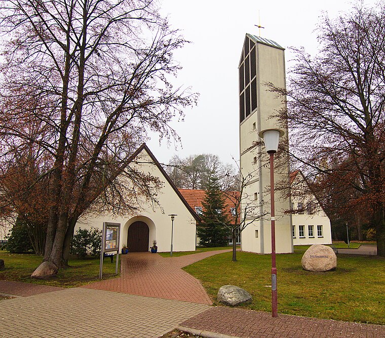
Photo: Losch, CC BY-SA 3.0.
Unterlüß is a village and former municipality in the district of Celle in Lower Saxony, Germany. It became part of the municipality of Südheide on 1 January 2015.
Eschede-Weyhausen
Village

Photo: Hajotthu, CC BY-SA 3.0.
Eschede-Weyhausen is a village, which is situated 6 km southeast of Südheide Wandertour 8.
Südheide Wandertour 8
- Type: Map
- Categories: information and tourism
- Location: Lower Saxony, Germany, Central Europe, Europe
- View on OpenStreetMap
Latitude
52.82835° or 52° 49′ 42″ northLongitude
10.31469° or 10° 18′ 53″ eastOpen location code
9F4GR8H7+8VOpenStreetMap ID
node 5812419562OpenStreetMap feature
tourism=information
This page is based on OpenStreetMap, Wikidata, and Wikimedia Commons.
We’d love your help improving our open data sources. Thank you for contributing.
Satellite Map
Discover Südheide Wandertour 8 from above in high-definition satellite imagery.
Notable Places Nearby
Highlights include Unterlüß station and Postfiliale 518.
Nearby Places
Explore places such as Unterlüß and Unterlüß, Bahnhof.
Lower Saxony: Must-Visit Destinations
Delve into Hanover, Göttingen, Brunswick, and Wolfsburg.
Curious Places to Discover
Uncover intriguing places from every corner of the globe.
About Mapcarta. Data © OpenStreetMap contributors and available under the Open Database License". Text is available under the CC BY-SA 4.0 license, except for photos, directions, and the map. Photo: Danapit, CC BY-SA 3.0.