Edifice antique souterrain (vestiges)
Edifice antique souterrain (vestiges) is an archaeological site in Lyon, Greater Lyon, Auvergne-Rhône-Alpes. Edifice antique souterrain (vestiges) is situated nearby to the park Place des Minimes, as well as near the government office Consulat de Finlande.| Tap on a place to explore it |
Places of Interest Nearby
Highlights include Place des Minimes and Minimes - Théâtres Romains.

Minimes - Théâtres Romains
Railway station

Photo: Chabe01, CC BY-SA 4.0.
Minimes - Théâtres Romains is a railway station, which is situated 120 metres northwest of Edifice antique souterrain (vestiges).
Odeon of Lyon
Theater building

Photo: Pymouss, CC BY-SA 4.0.
The Odeon of Lyon is a small ancient Roman theatre near the summit of the Fourvière hill in Lyon, France. It forms a pair with the Ancient Theatre of Fourvière, one of only two such pairs in Gaul. Odeon of Lyon is situated 210 metres northwest of Edifice antique souterrain (vestiges).
Places in the Area
Nearby places include Saint-Georges Neighbourhood in Lyon and Saint-Jean Neighbourhood in Lyon.
Saint-Georges Neighbourhood in Lyon
Neighborhood

Photo: Peter17, CC BY-SA 4.0.
Saint-Georges Neighbourhood in Lyon is a neighborhood.
Saint-Jean Neighbourhood in Lyon
Neighborhood

Photo: Wikimedia, CC BY-SA 3.0.
Saint-Jean Neighbourhood in Lyon is a neighborhood.
Vieux Lyon
Suburb
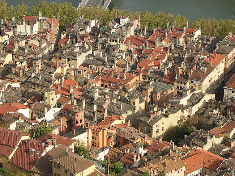
Photo: Karldupart, CC BY-SA 3.0.
Vieux Lyon is the largest Renaissance district of Lyon. In 1964, Vieux-Lyon, the city's oldest district, became the first site in France to be protected under the Malraux law to protect France's cultural sites.
Edifice antique souterrain (vestiges)
- Type: Archaeological site
- Categories: historic site, tourist attraction, and tourism
- Location: Lyon, Arrondissement of Lyon, Greater Lyon, Auvergne-Rhône-Alpes, France, Europe
- View on OpenStreetMap
Latitude
45.75769° or 45° 45′ 28″ northLongitude
4.82196° or 4° 49′ 19″ eastOpen location code
8FQ6QR5C+3QOpenStreetMap ID
node 5830304028OpenStreetMap feature
historic=archaeological_site
This page is based on OpenStreetMap, Wikidata, and Wikimedia Commons.
We’d love your help improving our open data sources. Thank you for contributing.
Satellite Map
Discover Edifice antique souterrain (vestiges) from above in high-definition satellite imagery.
Notable Places Nearby
Highlights include Consulat de Finlande and Chapelle de Marie-Thérèse de Lyon.
Nearby Places
Explore places such as Clos Ronzière and Restaurant Scolaire du Lycée Saint-Just.
Greater Lyon: Must-Visit Destinations
Delve into Saint-Étienne, Roanne, Villefranche-sur-Saône, and Divonne-les-Bains.
Curious Archaeological Sites to Discover
Uncover intriguing archaeological sites from every corner of the globe.
About Mapcarta. Data © OpenStreetMap contributors and available under the Open Database License". Text is available under the CC BY-SA 4.0 license, except for photos, directions, and the map. Photo: Fabimaru, CC0.