Städt. Hofgarten und Herzoggarten
Städt. Hofgarten und Herzoggarten is in Landshut, Lower Bavaria, Bavaria. Städt. Hofgarten und Herzoggarten is situated nearby to the park Europagarten, as well as near the grassland Prantlgarten.| Tap on a place to explore it |
Places of Interest Nearby
Highlights include Trausnitz Castle and Königmuseum im Hofberg.
Trausnitz Castle
Castle
 Trausnitz Castle is a medieval castle situated in Landshut, Bavaria in Germany. It was the home of the Wittelsbach dynasty, and it served as their ducal residence for Lower Bavaria from 1255–1503, and later as the seat of the hereditary rulers of the whole of Bavaria. Trausnitz Castle is situated 460 metres southwest of Städt. Hofgarten und Herzoggarten.
Königmuseum im Hofberg
Museum

Photo: Rosa-Maria Rinkl, CC BY-SA 4.0.
Königmuseum im Hofberg is situated 190 metres southwest of Städt. Hofgarten und Herzoggarten.
Freyung
Park
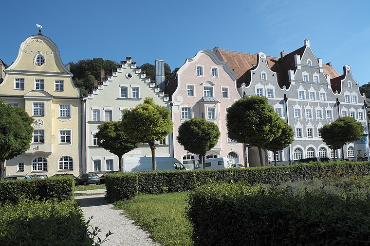
Photo: GFreihalter, CC BY-SA 3.0.
Freyung is a park, which is situated 150 metres north of Städt. Hofgarten und Herzoggarten.
Places in the Area
Nearby places include Achdorf and Kumhausen.

Kumhausen
Village

Photo: Konrad Lackerbeck, Public domain.
Kumhausen is a municipality in the district of Landshut in Bavaria in Germany. Kumhausen is situated 3 km south of Städt. Hofgarten und Herzoggarten.
Schönbrunn
Suburb

Photo: Gliwi, CC BY-SA 3.0.
Schönbrunn is a suburb, which is situated 3 km northeast of Städt. Hofgarten und Herzoggarten.
Städt. Hofgarten und Herzoggarten
- Type: Map
- Categories: information and tourism
- Location: Landshut, Kreisfreie Stadt Landshut, Lower Bavaria, Bavaria, Germany, Central Europe, Europe
- View on OpenStreetMap
Latitude
48.53455° or 48° 32′ 4″ northLongitude
12.15704° or 12° 9′ 25″ eastOpen location code
8FWJG5M4+RROpenStreetMap ID
node 5846283345OpenStreetMap feature
tourism=information
This page is based on OpenStreetMap, Wikidata, and Wikimedia Commons.
We’d love your help improving our open data sources. Thank you for contributing.
Satellite Map
Discover Städt. Hofgarten und Herzoggarten from above in high-definition satellite imagery.
Notable Places Nearby
Highlights include Europagarten and Prantlgarten.
Nearby Places
Explore places such as CSU and Waldorf Wiegestube.
Lower Bavaria: Must-Visit Destinations
Delve into Passau, Straubing, Deggendorf, and Kelheim.
Curious Places to Discover
Uncover intriguing places from every corner of the globe.
About Mapcarta. Data © OpenStreetMap contributors and available under the Open Database License". Text is available under the CC BY-SA 4.0 license, except for photos, directions, and the map. Photo: Tbp386, CC BY-SA 3.0.