White River Pit
White River Pit is a mine in Sullivan, New Hampshire. White River Pit is situated nearby to the fishing area East Wilder Boat Launch, as well as near the nature reserve True’s Ledges.| Tap on a place to explore it |
Places of Interest Nearby
Highlights include Willard Twin Covered Bridge and Willard Covered Bridge.
Willard Twin Covered Bridge

Photo: Gianina Lindsey, CC BY 2.0.
Willard Twin Covered Bridge is situated 1¼ miles southwest of White River Pit.
Willard Covered Bridge

Photo: Gianina Lindsey, CC BY 2.0.
The Willard Covered Bridge is a historic covered bridge carrying Mill Street across the Ottauquechee River in Hartland, Vermont. It is the eastern of two covered bridges on the road, which are connected via a small island in the river; the western bridge was built in 2001. Willard Covered Bridge is situated 1¼ miles southwest of White River Pit.
Ottauquechee River Bridge
Bridge

Photo: Hank Magnuski, CC BY-SA 3.0.
The Ottauquechee River Bridge is a steel girder bridge carrying United States Route 5 across the Ottauquechee River in Hartland, Vermont. The bridge replaced a c. Ottauquechee River Bridge is situated 1 mile west of White River Pit.
Places in the Area
Nearby places include White River Junction and West Lebanon.
White River Junction

Photo: Varing, CC BY-SA 3.0.
White River Junction is a village on the Connecticut River in eastern Vermont. It is in the town of Hartford.
West Lebanon
Village
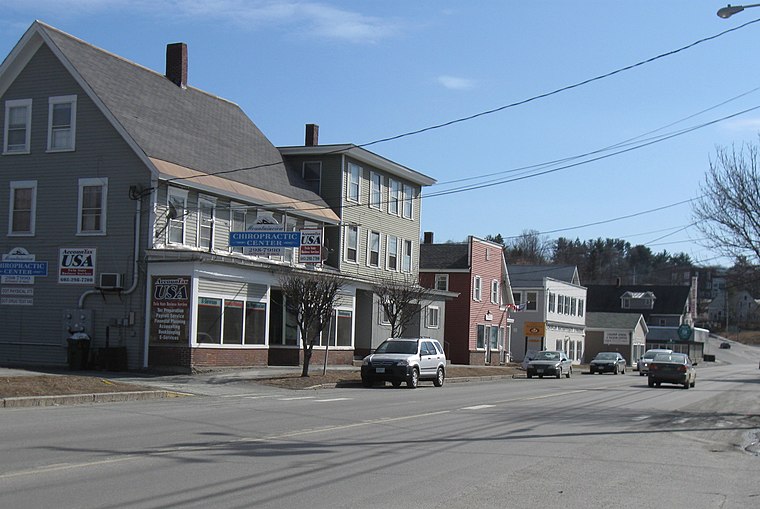
Photo: Ken Gallager, CC BY 3.0.
West Lebanon is an area within the city of Lebanon in Grafton County, New Hampshire, United States, along the Connecticut River. The ZIP Code area for the community had a population of 4,444 at the 2020 census, out of 14,282 in the entire city. West Lebanon is situated 3 miles north of White River Pit.
Wilder
Neighborhood

Photo: Wikimedia, Public domain.
Wilder is an unincorporated village and census-designated place within the town of Hartford in Windsor County, Vermont, United States. It is the location of the Wilder Dam on the Connecticut River. Wilder is situated 5 miles north of White River Pit.
White River Pit
- Type: Mine
- Categories: quarry and industry
- Location: Sullivan, New Hampshire, New England, United States, North America
- View on OpenStreetMap
Latitude
43.60577° or 43° 36′ 21″ northLongitude
-72.33373° or 72° 20′ 1″ westOpen location code
87M9JM48+8GOpenStreetMap ID
node 585386320OpenStreetMap feature
landuse=quarryOpenStreetMap feature
man_made=mine
This page is based on OpenStreetMap, Wikidata, and Wikimedia Commons.
We’d love your help improving our open data sources. Thank you for contributing.
Satellite Map
Discover White River Pit from above in high-definition satellite imagery.
Notable Places Nearby
Highlights include East Wilder Boat Launch and True’s Ledges.
Nearby Places
Explore places such as Lebanon Solid Waste & Recycling Facility and Ottauquechee River at North Hartland.
New Hampshire: Must-Visit Destinations
Delve into Concord, Manchester, Nashua, and Portsmouth.
Curious Mines to Discover
Uncover intriguing mines from every corner of the globe.
About Mapcarta. Data © OpenStreetMap contributors and available under the Open Database License". Text is available under the CC BY-SA 4.0 license, except for photos, directions, and the map. Photo: Wikimedia, CC0.