La Croix de la Masure
La Croix de la Masure is a wayside cross in Montréverd, Arrondissement of La Roche-sur-Yon, Pays de la Loire. La Croix de la Masure is situated nearby to the archaeological site Menhir de la Petite-Roche, as well as near the village Saint-André-Treize-Voies.| Tap on a place to explore it |
Places of Interest Nearby
Highlights include Menhir de la Petite-Roche and Église Saint-André de Saint-André-Treize-Voies.
Menhir de la Petite-Roche
Archaeological site

Photo: Llann Wé², CC BY-SA 3.0.
Menhir de la Petite-Roche is an archaeological site, which is situated 760 metres northwest of La Croix de la Masure.
Église Saint-André de Saint-André-Treize-Voies
Church

Photo: Llann Wé², CC BY-SA 3.0.
Église Saint-André de Saint-André-Treize-Voies is a church, which is situated 1½ km northwest of La Croix de la Masure.
Gare de L’Herbergement - Les Brouzils
Railway station

Photo: Cramos, CC BY-SA 3.0.
Gare de L’Herbergement - Les Brouzils is a railway station, which is situated 3 km southeast of La Croix de la Masure.
Places in the Area
Nearby places include Saint-André-Treize-Voies and L’Herbergement.
Saint-André-Treize-Voies
Village
Photo: Llann Wé², CC BY-SA 3.0.
Saint-André-Treize-Voies is a former commune in the Vendée department in the Pays de la Loire region in western France. On 1 January 2016, it was merged into the new commune of Montréverd.
L’Herbergement
Village
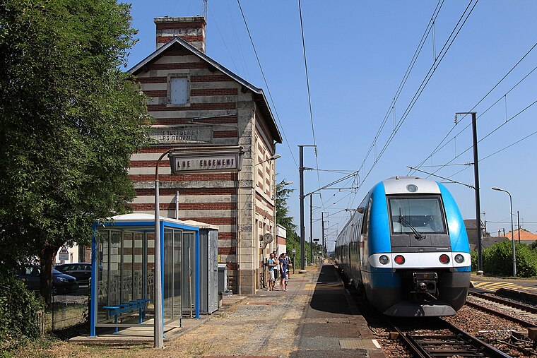
Photo: Cramos, CC BY-SA 3.0.
L'Herbergement is a commune in the Vendée department in the Pays de la Loire region in western France.
Saint-Sulpice-le-Verdon
Village

Photo: Thomasr m, CC BY-SA 3.0.
Saint-Sulpice-le-Verdon is a former commune in the Vendée department in the Pays de la Loire region in western France. On 1 January 2016, it was merged into the new commune of Montréverd. Saint-Sulpice-le-Verdon is situated 4 km southwest of La Croix de la Masure.
La Croix de la Masure
- Type: Wayside cross
- Denomination: Catholic
- Category: historic site
- Location: Montréverd, Arrondissement of La Roche-sur-Yon, Vendée, Pays de la Loire, France, Europe
- View on OpenStreetMap
Latitude
46.92531° or 46° 55′ 31″ northLongitude
-1.39826° or 1° 23′ 54″ westOpen location code
8CRWWJG2+4MOpenStreetMap ID
node 5854223410OpenStreetMap feature
historic=wayside_crossOpenStreetMap attribute
denomination=catholic
This page is based on OpenStreetMap, Wikidata, and Wikimedia Commons.
We’d love your help improving our open data sources. Thank you for contributing.
Satellite Map
Discover La Croix de la Masure from above in high-definition satellite imagery.
Notable Places Nearby
Highlights include Salle Omnisport and Complexe Sportif de Saint-André-Treize-Voies.
Nearby Places
Explore places such as COUROLIÈRE and La Petite Roche.
Pays de la Loire: Must-Visit Destinations
Delve into Montsoreau, Nantes, Angers, and Le Mans.
Curious Wayside Crosses to Discover
Uncover intriguing wayside crosses from every corner of the globe.
About Mapcarta. Data © OpenStreetMap contributors and available under the Open Database License". Text is available under the CC BY-SA 4.0 license, except for photos, directions, and the map. Photo: Trxxrt, FAL.