Gumirães - Rua Cedro
Gumirães - Rua Cedro is a bus stop in Viseu, Portugal. Gumirães - Rua Cedro is situated nearby to the church Igreja do Senhor dos Aflitos, as well as near Capela do Senhor dos Aflitos.| Tap on a place to explore it |
Places of Interest Nearby
Highlights include Estádio do Fontelo and Solar do Vinho do Dão, pórtico, edifícios anexos e jardins, antigo Paço Episcopal.
Estádio do Fontelo
Stadium
The Estádio do Fontelo is a stadium in Viseu, Portugal. It was completed and opened to the public in December 1928. It is mostly used for football matches and hosts the home matches of Académico de Viseu. Estádio do Fontelo is situated 1 km southwest of Gumirães - Rua Cedro.
Solar do Vinho do Dão, pórtico, edifícios anexos e jardins, antigo Paço Episcopal
Winery

Photo: MatosdaSilva, CC BY-SA 4.0.
Solar do Vinho do Dão, pórtico, edifícios anexos e jardins, antigo Paço Episcopal is a winery, which is situated 1 km west of Gumirães - Rua Cedro.
Viseu Cathedral
Church

Photo: MaximilienM, CC BY 3.0.
Viseu Cathedral is the Catholic bishopric seat of the city of Viseu, in Portugal. The church started being built in the 12th century and is the most important historical monument of the town. Viseu Cathedral is situated 2 km west of Gumirães - Rua Cedro.
Places in the Area
Nearby places include Abraveses and Mundão.
Abraveses
Village

Photo: Vitor Oliveira, CC BY-SA 2.0.
Abraveses is a Freguesia in the municipality of Viseu, in the Portuguese central subregion of Dão-Lafões. The population in 2011 was 8,539, in an area of 12.23 km². Abraveses is situated 3 km northwest of Gumirães - Rua Cedro.
Mundão
Village
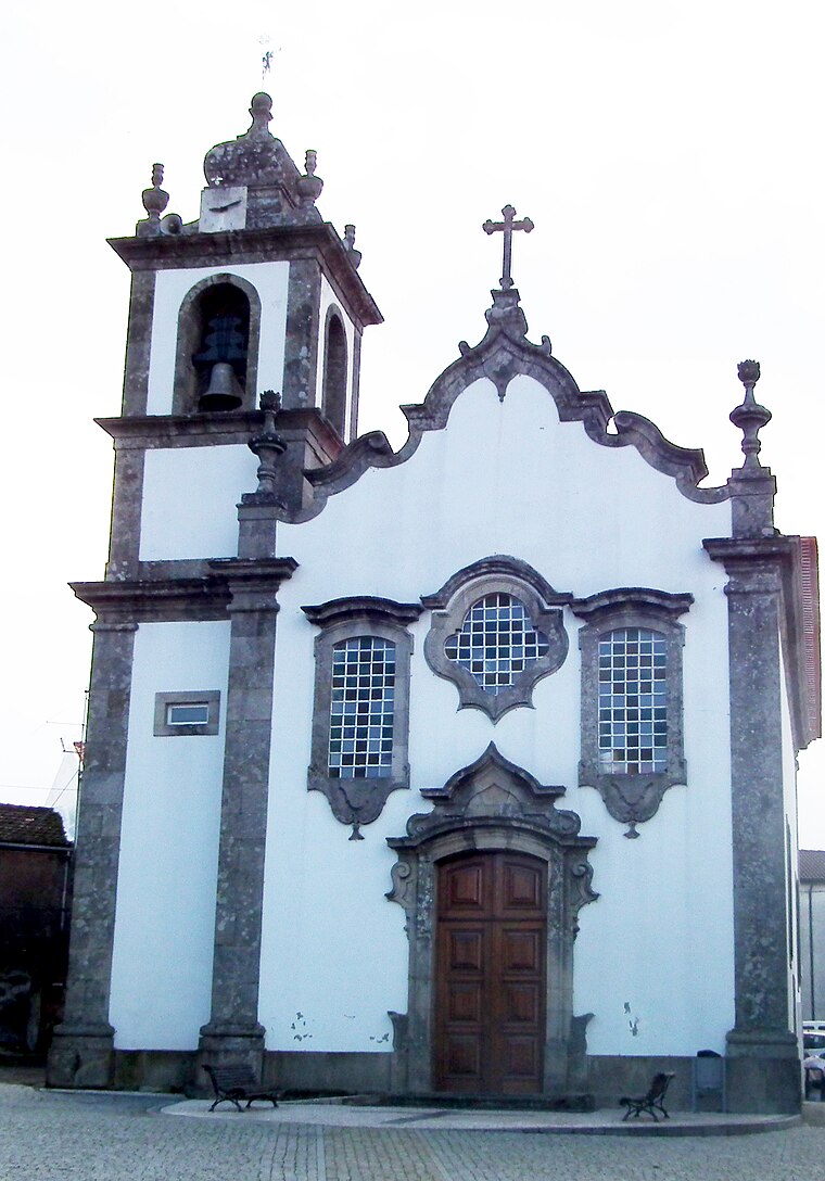
Photo: Jc.magno, Public domain.
Mundão is a village, which is situated 4 km northeast of Gumirães - Rua Cedro.
Orgens
Village

Photo: Jcoutinho, CC BY-SA 3.0.
Orgens is a village, which is situated 4 km west of Gumirães - Rua Cedro.
Gumirães - Rua Cedro
- Type: Bus stop
- Also known as: “Rua António Augusto Ferreira (X) Rua Cedro”
- Category: transportation
- Location: Viseu, Viseu District, Portugal, Iberia, Europe
- View on OpenStreetMap
Latitude
40.6636° or 40° 39′ 49″ northLongitude
-7.88915° or 7° 53′ 21″ westOperator
Empresa Berrelhas de CamionagemNetwork
Mobilidade Urbana de ViseuOpen location code
8CGJM476+C8OpenStreetMap ID
node 5857159733OpenStreetMap feature
highway=bus_stopOpenStreetMap feature
public_transport=platform
This page is based on OpenStreetMap, Wikidata, and Wikimedia Commons.
We’d love your help improving our open data sources. Thank you for contributing.
Satellite Map
Discover Gumirães - Rua Cedro from above in high-definition satellite imagery.
Notable Places Nearby
Highlights include Igreja do Senhor dos Aflitos and Capela do Senhor dos Aflitos.
Nearby Places
Explore places such as Gumirães - Ant A Ferreira and Gumirães - Rua Escola Nova.
Portugal: Must-Visit Destinations
Delve into Lisbon, Caldas da Rainha, Porto, and Coimbra.
Curious Bus Stops to Discover
Uncover intriguing bus stops from every corner of the globe.
About Mapcarta. Data © OpenStreetMap contributors and available under the Open Database License". Text is available under the CC BY-SA 4.0 license, except for photos, directions, and the map. Photo: Michal Gorski, CC BY-SA 3.0.