Potabilizadora
Potabilizadora is a bus stop in Santiago de Cuba Province, Cuba. Potabilizadora is situated nearby to the food court Comedor, as well as near the pitch Deporte y Recreación.| Tap on a place to explore it |
Places of Interest Nearby
Highlights include Guillermón Moncada Stadium and Santa Ifigenia Cemetery.
Guillermón Moncada Stadium
Stadium
Estadio Guillermón Moncada is a multi-use stadium in Santiago de Cuba, Cuba. It is the second largest baseball stadium in Cuba and comfortably seats 25,000 spectators. Guillermón Moncada Stadium is situated 2 km south of Potabilizadora.
Santa Ifigenia Cemetery

Photo: Escla, CC BY-SA 3.0.
The Santa Ifigênia Cemetery, officially Santa Ifigênia Patrimonial Cemetery, is the cemetery, necropolis and main pantheon of the Cuban Oriente and the city of Santiago de Cuba. Santa Ifigenia Cemetery is situated 3 km southwest of Potabilizadora.
Santiago de Cuba railway station
Railway station

Photo: Christian Pirkl, CC BY-SA 4.0.
Santiago de Cuba, also known as Santiago General Senén Casas, is the main railway station of the city of Santiago de Cuba, seat of the province of the same name in Cuba. Santiago de Cuba railway station is situated 3 km southwest of Potabilizadora.
Places in the Area
Nearby places include Santiago de Cuba and El Caney.
Santiago de Cuba

Photo: Rastapopulous, CC BY-SA 3.0.
Santiago de Cuba is the second-largest city in Cuba and the capital city of Santiago de Cuba Province. It lies in the southeastern area of the island, some 870 km southeast of the Cuban capital of Havana.
El Caney
Town
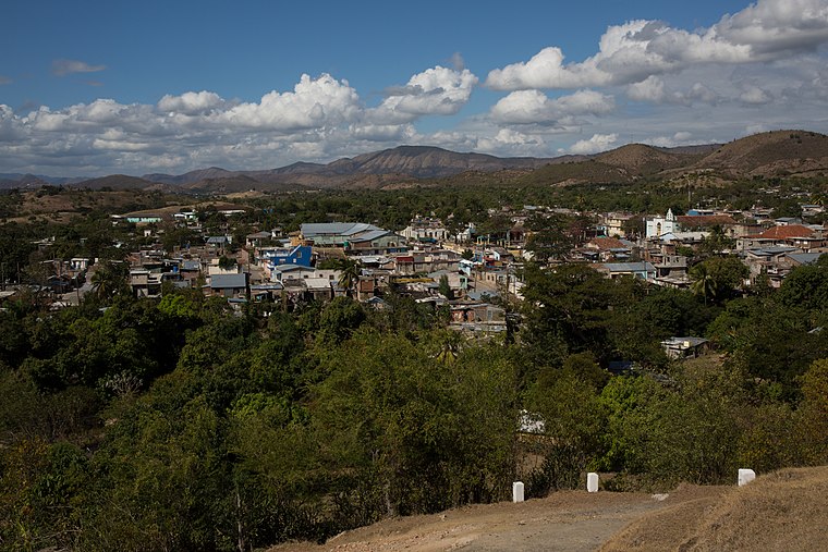
Photo: Christian Pirkl, CC BY-SA 4.0.
El Caney is a small village six kilometers to the northeast of Santiago, Cuba. "Caney" means longhouse in Taíno. El Caney is situated 4½ km east of Potabilizadora.
Potabilizadora
- Type: Bus stop
- Category: transportation
- Location: Santiago de Cuba Province, Cuba, Caribbean, North America
- View on OpenStreetMap
Latitude
20.05185° or 20° 3′ 7″ northLongitude
-75.81664° or 75° 48′ 60″ westOpen location code
77G6352M+P8OpenStreetMap ID
node 5863615998OpenStreetMap feature
highway=bus_stopOpenStreetMap feature
public_transport=platform
This page is based on OpenStreetMap, Wikidata, and Wikimedia Commons.
We’d love your help improving our open data sources. Thank you for contributing.
Satellite Map
Discover Potabilizadora from above in high-definition satellite imagery.
Places with the Same Name
Discover other places named “Potabilizadora”.
Notable Places Nearby
Highlights include Comedor and Deporte y Recreación.
Nearby Places
Explore places such as Potabilizadora and Home Engin Kayaoglu.
Cuba: Must-Visit Destinations
Delve into Havana, Santiago de Cuba, Camagüey, and Guantánamo.
Curious Bus Stops to Discover
Uncover intriguing bus stops from every corner of the globe.
About Mapcarta. Data © OpenStreetMap contributors and available under the Open Database License". Text is available under the CC BY-SA 4.0 license, except for photos, directions, and the map. Photo: Wikimedia, CC0.