Tuš
Tuš is a supermarket in Municipality of Kamnik, Slovenia. Tuš is situated nearby to the post office Pošta Bakovnik, as well as near the railway stop Duplica-Bakovnik railway station.| Tap on a place to explore it |
Places of Interest Nearby
Highlights include Kamnik railway station and Zaprice Castle.
Kamnik railway station
Railway station
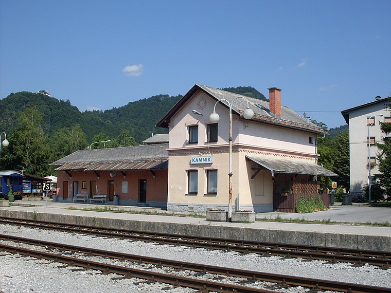
Photo: Ajznponar, CC BY-SA 3.0.
Kamnik railway station is situated 1½ km north of Tuš.
Zaprice Castle
Castle
 Zaprice Castle is a castle in Zaprice, now part of the town of Kamnik, Slovenia. The castle was first indirectly mentioned in 1306 and was originally built in the 14th century by the Dienger von Apecz family. Zaprice Castle is situated 1½ km north of Tuš.
Rudolf Maister’s Birth House
Museum

Photo: Žiga, Public domain.
Rudolf Maister’s Birth House is a museum, which is situated 2 km northeast of Tuš.
Places in the Area
Nearby places include Duplica and Podgorje.
Duplica
Suburb
Duplica is a former settlement in the Municipality of Kamnik in central Slovenia. It is now part of the town of Kamnik. The area is part of the traditional region of Upper Carniola. The municipality is now included in the Central Slovenia Statistical Region.
Podgorje
Village

Photo: Sl-Ziga, CC BY-SA 3.0.
Podgorje is a settlement that is a now a suburb of the town of Kamnik in the Upper Carniola region of Slovenia.
Šmarca
Village

Photo: Doremo, CC BY-SA 4.0.
Šmarca is a settlement just south of Kamnik, on the right bank of the Kamnik Bistrica River, in the Upper Carniola region of Slovenia. The settlement was first mentioned in documents dating to 1359.
Tuš
- Type: Supermarket
- Wheelchair access: yes
- Categories: shop and food
- Location: Municipality of Kamnik, Slovenia, Central Europe, Europe
- View on OpenStreetMap
Latitude
46.20877° or 46° 12′ 32″ northLongitude
14.59825° or 14° 35′ 54″ eastOpen location code
8FRP6H5X+G7OpenStreetMap ID
node 588850757OpenStreetMap feature
shop=supermarketOpenStreetMap attribute
wheelchair=yes
This page is based on OpenStreetMap, Wikidata, and Wikimedia Commons.
We’d love your help improving our open data sources. Thank you for contributing.
Satellite Map
Discover Tuš from above in high-definition satellite imagery.
Places with the Same Name
Discover other places named “Tuš”.
Notable Places Nearby
Highlights include Pošta Bakovnik and Duplica-Bakovnik railway station.
Nearby Places
Explore places such as Metuljček and Bakovnik Pošta.
Slovenia: Must-Visit Destinations
Delve into Ljubljana, Maribor, Koper, and Celje.
Curious Supermarkets to Discover
Uncover intriguing supermarkets from every corner of the globe.
About Mapcarta. Data © OpenStreetMap contributors and available under the Open Database License". Text is available under the CC BY-SA 4.0 license, except for photos, directions, and the map. Photo: Jjtkk, CC BY 3.0.