Franklin Township Municipal Office
Franklin Township Municipal Office is a town hall in Franklin Township, Carbon County, Pennsylvania which is located on Fairyland Road. Franklin Township Municipal Office is situated nearby to the pitch Wayne Wentz Field, as well as near Phifer’s Ice Dam Park.| Tap on a place to explore it |
Places of Interest Nearby
Highlights include Bear Mountain.
Bear Mountain
Peak
Bear Mountain, in the Lehigh Valley of Pennsylvania several miles above the Lehigh Gap, is a steep-sided east bank ridgeline running about 9.96 miles between the hairpin turn in the Lehigh the Lenape Amerindian people visualized as a bear's snout, along many water gap gorges, to the steep face dropping down to the Penn Forest Reservoir. Bear Mountain is situated 2 miles north of Franklin Township Municipal Office.
Places in the Area
Nearby places include Harrity and Lehighton.
Harrity
Hamlet
Harrity is a village in Franklin Township, Carbon County, Pennsylvania on the Pohopoco Creek, which flows westward from Beltzville Lake into the Lehigh River to the south of the village in Parryville.
Lehighton
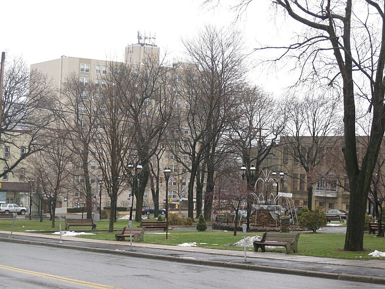
Photo: Doug Kerr, CC BY-SA 2.0.
Lehighton is a borough in the Coal Region, near Jim Thorpe, Allentown and the Lehigh Valley, in the state of Pennsylvania in the United States of America.
Packerton
Hamlet

Photo: Smallbones, CC0.
Packerton is a village located in Mahoning Township, Carbon County, Pennsylvania on the Lehigh River and U.S. Route 209 between Jim Thorpe and Lehighton. It uses the Lehighton ZIP code of 18235. Packerton is situated 2 miles northwest of Franklin Township Municipal Office.
Franklin Township Municipal Office
- Type: Town hall
- Address: 889 Fairyland Road, Lehighton, PA 18235
- Category: government building
- Location: Franklin Township, Carbon County, Pennsylvania, Mid-Atlantic, United States, North America
- View on OpenStreetMap
Latitude
40.84253° or 40° 50′ 33″ northLongitude
-75.68846° or 75° 41′ 18″ westOpen location code
87G6R8V6+2JOpenStreetMap ID
node 5899296215OpenStreetMap feature
amenity=townhall
This page is based on OpenStreetMap, Wikidata, and Wikimedia Commons.
We’d love your help improving our open data sources. Thank you for contributing.
Satellite Map
Discover Franklin Township Municipal Office from above in high-definition satellite imagery.
Notable Places Nearby
Highlights include Wayne Wentz Field and Phifer’s Ice Dam Park.
Nearby Places
Explore places such as Buck’s Sporting Goods and Majestic Fire Apparel.
Pennsylvania: Must-Visit Destinations
Delve into Philadelphia, Pittsburgh, Harrisburg, and Scranton.
Curious Town Halls to Discover
Uncover intriguing town halls from every corner of the globe.
About Mapcarta. Data © OpenStreetMap contributors and available under the Open Database License". Text is available under the CC BY-SA 4.0 license, except for photos, directions, and the map. Photo: Nicholas A. Tonelli, CC BY 2.0.