Mässplatte
Mässplatte is in Klosters, Region Prättigau / Davos, Graubünden and has an elevation of 1,968 metres. Mässplatte is situated nearby to the mountain saddle Chlei Fürggli, as well as near the peak Geisshorn.| Tap on a place to explore it |
Places of Interest Nearby
Highlights include Madrisahorn and Serneus Reformed Church.
Madrisahorn
Peak

Photo: Parpan05, CC BY-SA 3.0.
The Madrisa is a mountain in the Rätikon mountain range, overlooking Klosters in the Swiss canton of Graubünden. Its summit is located near the Austrian border. Madrisahorn is situated 3 km northeast of Mässplatte.
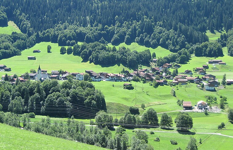
Serneus Reformed Church
Church

Photo: Xenos, CC BY-SA 3.0.
Serneus Reformed Church is situated 2 km southwest of Mässplatte.
Saas railway station
Railway station

Photo: NAC, CC BY-SA 3.0.
Saas railway station, also known as Saas im Prättigau railway station, is a railway station in the municipality of Saas im Prättigau, in the Swiss canton of Grisons. Saas railway station is situated 3 km west of Mässplatte.
Places in the Area
Nearby places include Serneus and Saas im Prättigau.
Saas im Prättigau
Village
 Saas im Prättigau is a Swiss village in the Prättigau and a former municipality in the district of Prättigau/Davos in the canton of Graubünden. On 1 January 2016 the former municipality of Saas im Prättigau merged into the municipality of Klosters-Serneus. Saas im Prättigau is situated 3½ km west of Mässplatte.
Küblis
Village

Photo: Parpan05, CC BY-SA 3.0.
Küblis or Kublis is a Swiss village in the Prättigau and a municipality in the political district Prättigau/Davos Region in the canton of the Grisons. Küblis is situated 6 km west of Mässplatte.
Mässplatte
- Type: Sign
- Categories: information and tourism
- Location: Klosters, Region Prättigau / Davos, Graubünden, Switzerland, Central Europe, Europe
- View on OpenStreetMap
Latitude
46.90765° or 46° 54′ 28″ northLongitude
9.85194° or 9° 51′ 7″ eastElevation
1,968 metres (6,457 feet)Open location code
8FRFWV52+3QOpenStreetMap ID
node 5908663452OpenStreetMap feature
tourism=information
This page is based on OpenStreetMap, Wikidata, and Wikimedia Commons.
We’d love your help improving our open data sources. Thank you for contributing.
Satellite Map
Discover Mässplatte from above in high-definition satellite imagery.
Notable Places Nearby
Highlights include Chlei Fürggli and Geisshorn.
Nearby Places
Explore places such as Stafel Bar and Saaser Alp.
Graubünden: Must-Visit Destinations
Delve into Davos, Chur, St. Moritz, and Arosa.
Curious Places to Discover
Uncover intriguing places from every corner of the globe.
About Mapcarta. Data © OpenStreetMap contributors and available under the Open Database License". Text is available under the CC BY-SA 4.0 license, except for photos, directions, and the map. Photo: Patrick Nouhailler’s…, CC BY-SA 3.0.