Via do Oriente
Via do Oriente is a bus stop in Sacavém e Prior Velho, Loures, Lisbon District. Via do Oriente is situated nearby to the health club Fitness Hut Sacavém, as well as near the playground Parque Infantil do Real Forte.| Tap on a place to explore it |
Places of Interest Nearby
Highlights include Ceramics Museum of Sacavém and Sacavém train station.
Ceramics Museum of Sacavém
Museum
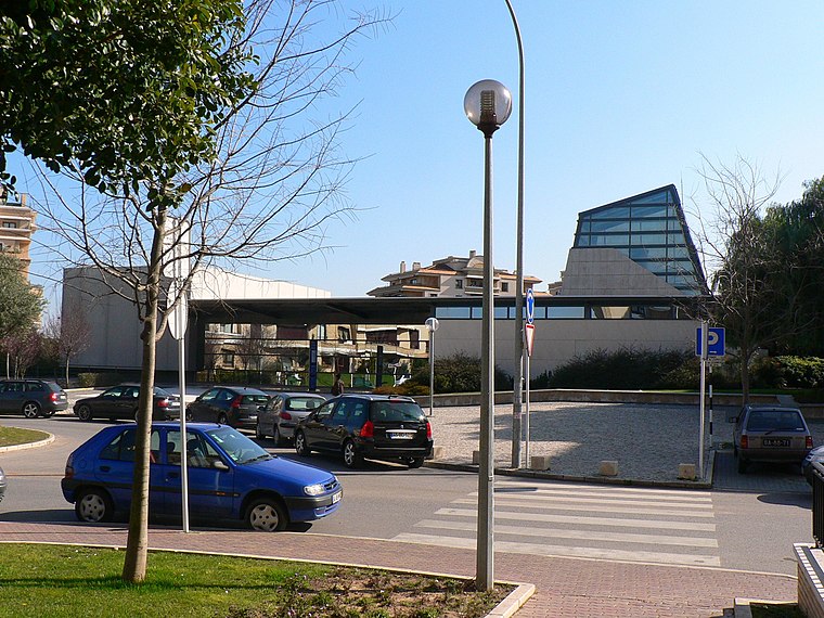
Photo: Juntas, Public domain.
The Ceramics Museum of Sacavém is situated in the town of Sacavém in the municipality of Loures, just northeast of Lisbon in Portugal. The museum was opened in July 2000 and was constructed on the grounds of a former ceramics factory. Ceramics Museum of Sacavém is situated 350 metres northwest of Via do Oriente.
Sacavém train station
Railway stop

Photo: Juntas, CC BY-SA 2.5.
Sacavém train station is a railway stop, which is situated 320 metres north of Via do Oriente.
Casa-Museu José Pedro
Museum

Photo: Juntas, CC BY-SA 3.0.
Casa-Museu José Pedro is a museum, which is situated 580 metres west of Via do Oriente.
Places in the Area
Nearby places include Portela and Bobadela.
Portela
Village
Portela is a former civil parish in the municipality of Loures, Lisbon District, Portugal. In 2013, the parish merged into the new parish Moscavide e Portela.

Parque das Nações

Photo: Lacobrigo, CC BY-SA 4.0.
Parque das Nações is a district in Lisbon, Portugal. The "Park of the Nations" was built from scratch for Expo '98 in the northeastern end of Lisbon. After the Expo, many of the impressive constructions and decorations were kept, while new residential…
Via do Oriente
- Type: Bus stop
- Categories: transport stop and transportation
- Location: Sacavém e Prior Velho, Loures, Lisbon District, Portugal, Iberia, Europe
- View on OpenStreetMap
Latitude
38.79211° or 38° 47′ 32″ northLongitude
-9.0993° or 9° 5′ 58″ westOperator
CarrisNetwork
CarrisOpen location code
8CCGQWR2+R7OpenStreetMap ID
node 5939841826OpenStreetMap feature
public_transport=stop_position
This page is based on OpenStreetMap, Wikidata, and Wikimedia Commons.
We’d love your help improving our open data sources. Thank you for contributing.
Satellite Map
Discover Via do Oriente from above in high-definition satellite imagery.
Notable Places Nearby
Highlights include Fitness Hut Sacavém and Parque Infantil do Real Forte.
Nearby Places
Explore places such as Via do Oriente and Via do Oriente.
Portugal: Must-Visit Destinations
Delve into Lisbon, Caldas da Rainha, Porto, and Coimbra.
Curious Bus Stops to Discover
Uncover intriguing bus stops from every corner of the globe.
About Mapcarta. Data © OpenStreetMap contributors and available under the Open Database License". Text is available under the CC BY-SA 4.0 license, except for photos, directions, and the map. Photo: Vitor Oliveira, CC BY-SA 2.0.