Kickboxen Rosenheim
Kickboxen Rosenheim is a sports venue in Bavaria, Germany which is located on Innstraße. Kickboxen Rosenheim is situated nearby to the community center Z - Linkes Zentrum in Selbstverwaltung, as well as near the playground Slackline.| Tap on a place to explore it |
- Opening hours:
Monday and Wednesday: 5:30 PM—9:30 PM
Tuesday and Thursday: 6:00 PM—9:30 PM
Sunday: 10:00 AM—1:00 PM - Email: info@kickboxrosenheim.de
- Type: Sports venue
- Address: Innstraße 43, Rosenheim, 83022
Places of Interest Nearby
Highlights include Mangfallpark Süd and Rosenheim Town Hall.
Mangfallpark Süd
Park

Photo: Rufus46, CC BY-SA 3.0.
Mangfallpark Süd is situated 240 metres south of Kickboxen Rosenheim.
Rosenheim Town Hall
Town hall

Photo: Rufus46, CC BY-SA 3.0.
Rosenheim Town Hall is situated 460 metres west of Kickboxen Rosenheim.
Rofa-Stadion
Stadium

Photo: Florian-schäffer, CC BY-SA 3.0 de.
The ROFA-Stadion is an arena in Rosenheim, Germany. It is primarily used for ice hockey. The stadium opened in 1962 as an open-air stadium and got roofed in 1973. Rofa-Stadion is situated 510 metres southwest of Kickboxen Rosenheim.
Places in the Area
Nearby places include Rosenheim and Aising.
Rosenheim
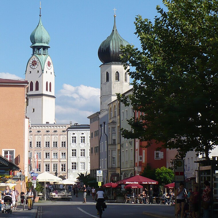
Photo: G.Piezinger, CC BY-SA 3.0.
Rosenheim is in the German state of Bavaria. It is south-east of Munich and has a population of 60,000.
Aising
Suburb

Photo: Rufus46, CC BY-SA 3.0.
Aising is a suburb, which is situated 3 km southwest of Kickboxen Rosenheim.
Stephanskirchen
Village

Photo: Hg6996, CC BY-SA 3.0.
Stephanskirchen is a municipality in the district of Rosenheim, Upper Bavaria in Germany. Stephanskirchen is situated 3½ km east of Kickboxen Rosenheim.
Kickboxen Rosenheim
- Categories: boxing, recreation area, and sports location
- Location: Bavaria, Germany, Central Europe, Europe
- View on OpenStreetMap
Latitude
47.85455° or 47° 51′ 16″ northLongitude
12.13514° or 12° 8′ 7″ eastOpen location code
8FVJV43P+R3OpenStreetMap ID
node 5969707536OpenStreetMap feature
leisure=sports_centreOpenStreetMap feature
sport=boxing
This page is based on OpenStreetMap, Wikidata, and Wikimedia Commons.
We’d love your help improving our open data sources. Thank you for contributing.
Satellite Map
Discover Kickboxen Rosenheim from above in high-definition satellite imagery.
Notable Places Nearby
Highlights include Z - Linkes Zentrum in Selbstverwaltung and Slackline.
Nearby Places
Explore places such as Cargold and Waschpunkt.
Bavaria: Must-Visit Destinations
Delve into Munich, Nuremberg, Erlangen, and Augsburg.
Curious Sports Venues to Discover
Uncover intriguing sports venues from every corner of the globe.
About Mapcarta. Data © OpenStreetMap contributors and available under the Open Database License". Text is available under the CC BY-SA 4.0 license, except for photos, directions, and the map. Photo: gravitat-OFF, CC BY 2.0.